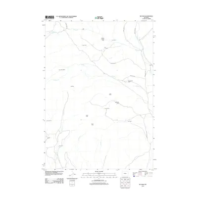
2012 Map of De Pass
USGS Topo · Published 2012About this map
De Pass sits within a high-elevation landscape defined by deep draws and significant peaks such as Greer Peak and Fuller Peak. This Fremont County terrain is marked by a network of historic ranching and homesteading sites, including the Day Homestead and Nichols Ranch, which reflect the early 21st-century cattle and sheep operations in the region. The map reveals how local travel relies on established paths like the Old Bridger Trl and Dry Bridger Rd, which skirt around Cottonwood Draw and Joe Johns Basin. These routes follow the natural drainage patterns of Bridger Cr, W Bridger Cr, and S Bridger Cr, illustrating the vital relationship between water sources and settlement in this arid environment. Other scattered landmarks such as Golden Cabin and the Philp Ranch highlight the sparse, remote nature of these mountain holdings.
Find a feature on this map
32 named features on this map. Tap any name to fly to it.
Don’t see what you’re looking for? This feature index may not catch every label — zoom into the map to look around manually.
Map Details
Editions of this 2012 De Pass Map
This is the sole edition of this map. No revisions or reprints were ever made.
Other maps of this area

1952 · Gates Butte
USGS Topo · 1:24,000

1952 · Rathbun Ranch
USGS Topo · 1:24,000

1952 · Picard Ranch
USGS Topo · 1:24,000

1952 · Lysite
USGS Topo · 1:24,000

1952 · Arapahoe Butte
USGS Topo · 1:24,000

1952 · De Pass
USGS Topo · 1:24,000

1952 · Guffy Peak
USGS Topo · 1:24,000

1952 · Bull Mountain
USGS Topo · 1:24,000

1955 · Arminto
USGS Topo · 1:250,000

1957 · Rathbun Ranch
USGS Topo · 1:24,000