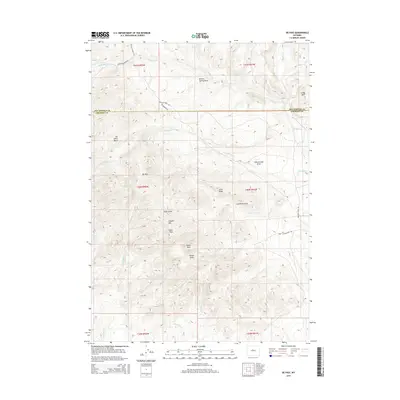
2015 Map of De Pass
USGS Topo · Published 2015About this map
Copper Mtn dominates the central landscape of this Wyoming high-country survey, where the border of Fremont and Hot Springs counties traverses a complex network of ridges and drainages. The small settlement of De Pass is situated along the western slopes, serving as a rare human anchor in a terrain defined by dramatic elevation changes. From the height of Greer Peak and Fuller Peak to the deep recesses of Joe Johns Basin, the map illustrates a remote wilderness managed through scattered access routes like Buffalo Creek Rd. Water is a critical but seasonal presence, with named features such as S Bridger Cr and Brown Spring Draw carving the surface. The proximity of Lysite Mtn on the eastern edge and Lime Ridge in the center highlights the geological diversity of this portion of the Bridger Mountains.
Find a feature on this map
29 named features on this map. Tap any name to fly to it.
Don’t see what you’re looking for? This feature index may not catch every label — zoom into the map to look around manually.
Map Details
Editions of this 2015 De Pass Map
This is the sole edition of this map. No revisions or reprints were ever made.
Other maps of this area

1952 · Gates Butte
USGS Topo · 1:24,000

1952 · Rathbun Ranch
USGS Topo · 1:24,000

1952 · Picard Ranch
USGS Topo · 1:24,000

1952 · Lysite
USGS Topo · 1:24,000

1952 · Arapahoe Butte
USGS Topo · 1:24,000

1952 · De Pass
USGS Topo · 1:24,000

1952 · Guffy Peak
USGS Topo · 1:24,000

1952 · Bull Mountain
USGS Topo · 1:24,000

1955 · Arminto
USGS Topo · 1:250,000

1957 · Rathbun Ranch
USGS Topo · 1:24,000