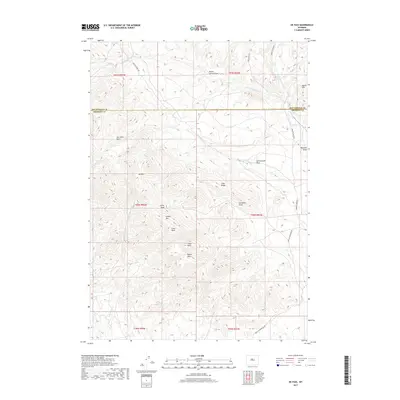
2017 Map of De Pass
USGS Topo · Published 2017About this map
De Pass sits within a complex network of high ridges and deep drainage draws along the border of Fremont and Hot Springs Counties. The terrain is dominated by significant elevations such as Copper Mtn, Greer Peak, and Fuller Peak, which overlook a landscape carved by seasonal waterways like Cottonwood Draw and Poison Draw. The topography reveals a history of land management and movement through the high country, with Buffalo Creek Rd and Kirby Creek Rd providing access to remote points like Joe Johns Basin. To the east, the drainage of Bridger Cr and its tributaries, including W Bridger Cr and S Bridger Cr, illustrate the complex hydrology of this high-altitude environment. Distinctive geological markers like Lime Ridge and Lysite Mtn further define the area's physical character.
Find a feature on this map
31 named features on this map. Tap any name to fly to it.
Don’t see what you’re looking for? This feature index may not catch every label — zoom into the map to look around manually.
Map Details
Editions of this 2017 De Pass Map
This is the sole edition of this map. No revisions or reprints were ever made.
Other maps of this area

1952 · Gates Butte
USGS Topo · 1:24,000

1952 · Rathbun Ranch
USGS Topo · 1:24,000

1952 · Picard Ranch
USGS Topo · 1:24,000

1952 · Lysite
USGS Topo · 1:24,000

1952 · Arapahoe Butte
USGS Topo · 1:24,000

1952 · De Pass
USGS Topo · 1:24,000

1952 · Guffy Peak
USGS Topo · 1:24,000

1952 · Bull Mountain
USGS Topo · 1:24,000

1955 · Arminto
USGS Topo · 1:250,000

1957 · Rathbun Ranch
USGS Topo · 1:24,000