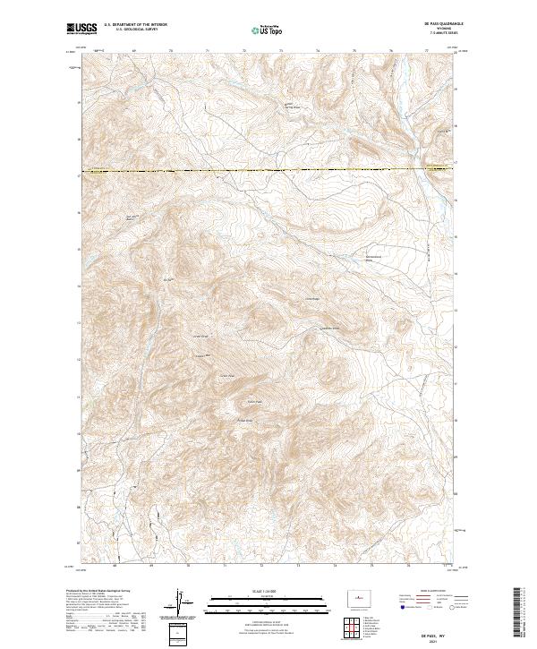
2021 Map of De Pass
USGS Topo · Published 2021About this map
De Pass occupies a high-elevation landscape along the border of Hot Springs and Fremont counties, defined by the prominent peaks and drainages of the Owl Creek Mountains region. The area around Copper Mtn and Greer Peak is marked by a complex network of draws and ridges, including Lime Ridge and the distinct Joe Johns Basin. This high-country terrain has historically supported seasonal ranching and mining interests, evidenced by the named peaks and numerous ephemeral watercourses like Schoening Cr and W Bridger Cr. The transport network relies on fundamental access routes such as Buffalo Creek Rd and Kirby Creek Rd, which navigate the deep topographic relief of Poison Draw and Cottonwood Draw. The map illustrates the sparse, high-altitude settlement patterns where named landmarks like Fuller Peak and Lysite Mtn serve as essential navigational markers across the rugged drainage basins.
Find a feature on this map
30 named features on this map. Tap any name to fly to it.
Don’t see what you’re looking for? This feature index may not catch every label — zoom into the map to look around manually.
Map Details
Editions of this 2021 De Pass Map
This is the sole edition of this map. No revisions or reprints were ever made.
Other maps of this area

1952 · Gates Butte
USGS Topo · 1:24,000

1952 · Rathbun Ranch
USGS Topo · 1:24,000

1952 · Picard Ranch
USGS Topo · 1:24,000

1952 · Lysite
USGS Topo · 1:24,000

1952 · Arapahoe Butte
USGS Topo · 1:24,000

1952 · De Pass
USGS Topo · 1:24,000

1952 · Guffy Peak
USGS Topo · 1:24,000

1952 · Bull Mountain
USGS Topo · 1:24,000

1955 · Arminto
USGS Topo · 1:250,000

1957 · Rathbun Ranch
USGS Topo · 1:24,000