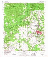
1960 Map of De Ridder
USGS Topo · Published 1967About this map
De Ridder serves as the focal point of this 1960s topographic study, showing the city's grid expanding near the Kansas City Southern railway. The landscape reflects a mix of timber, transit, and early industrial development across the Vernon and Beauregard Parish line. Outside the main town, smaller settlements like Ludington, Bon Ami, and Rosepine appear alongside numerous rural institutions such as Cypress Creek Ch and Miller Cem. The southern portion of the map highlights the region's natural resources, from the Neale Oil Field to several prominent Gravel Pits. The intricate drainage system of Anacoco Bayou and its many tributaries, including Brushy Creek and Beckwith Creek, illustrates the complex wetlands typical of southwest Louisiana before more modern suburban sprawl reached these outlying areas.
Find a feature on this map
59 named features on this map. Tap any name to fly to it.
Don’t see what you’re looking for? This feature index may not catch every label — zoom into the map to look around manually.
Map Details
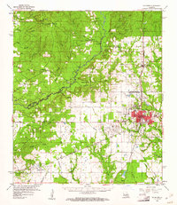
Editions of this 1960 De Ridder Map
2 editions found
Other maps of this area

1941 · Leesville
USGS Topo · 1:62,500

1941 · Slagle
USGS Topo · 1:62,500

1943 · Leesville
USGS Topo · 1:62,500

1944 · Wiergate
USGS Topo · 1:62,500

1944 · Slagle
USGS Topo · 1:62,500

1946 · Leesville
USGS Topo · 1:62,500

1946 · Merryville
USGS Topo · 1:31,680

1947 · Singer
USGS Topo · 1:31,680

1947 · Pujo
USGS Topo · 1:31,680

1947 · DeRidder
USGS Topo · 1:31,680