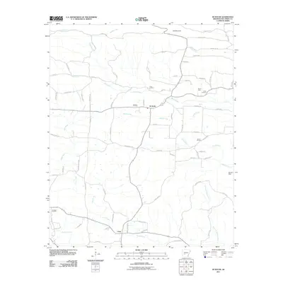
2011 Map of De Roche
USGS Topo · Published 2011About this map
De Roche and the settlement of Caney anchor this landscape in Hot Spring County, situated where the terrain begins to rise toward Jack Mountain and the DeLisle Hills. The area is defined by a dense network of small watercourses, including Prairie Bayou, Curl Creek, and the winding Caney Creek, which shape the local topography and historical road patterns. For genealogists, the map is a significant record of family-named landmarks and local burial sites, featuring the Prince Cemetery, Holstein Cemetery, Estep Cemetery, and Beason Cemetery scattered throughout the rural countryside. The road network, including historic routes like Camp Rd and Hickory Grove Rd, reflects a pattern of rural development that has persisted through the decades, connecting isolated homesteads and small community centers across the creek valleys.
Find a feature on this map
73 named features on this map. Tap any name to fly to it.
Don’t see what you’re looking for? This feature index may not catch every label — zoom into the map to look around manually.
Map Details
Editions of this 2011 De Roche Map
This is the sole edition of this map. No revisions or reprints were ever made.
Other maps of this area

1948 · Malvern
USGS Topo · 1:62,500

1949 · Malvern
USGS Topo · 1:62,500

1955 · Little Rock
USGS Topo · 1:250,000

1956 · Little Rock
USGS Topo · 1:250,000

1959 · Caddo Valley
USGS Topo · 1:24,000

1960 · Little Rock
USGS Topo · 1:250,000

1964 · Little Rock
USGS Topo · 1:250,000

1964 · Donaldson
USGS Topo · 1:24,000

1966 · Hempwallace
USGS Topo · 1:24,000

1966 · De Roche
USGS Topo · 1:24,000