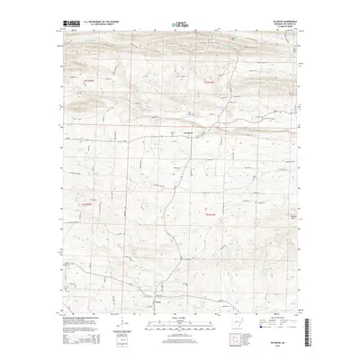
2014 Map of De Roche
USGS Topo · Published 2014About this map
De Roche and the smaller community of Caney anchor this topographical study of the Arkansas landscape south of Hot Springs. The area is defined by its complex drainage network, where Prairie Bayou and Antioch Cr navigate the elevations of Jack Mtn and the DeLisle Hills. This modern survey reveals a landscape where rural settlement patterns are inextricably linked to local geography, evidenced by the numerous small family or community burial grounds scattered throughout the township. These include Prince Cem, Holstein Cem, and Beason Cem, which serve as vital markers for genealogical research in this part of Hot Spring County. The map details a transition from the upland ridges of Jack Mtn in the north to the bottomlands of De Roche Cr and W Fork DeLisle Cr in the south, providing a clear record of the road networks like Ar-128 and Ar-84 that connect these dispersed rural communities.
Find a feature on this map
84 named features on this map. Tap any name to fly to it.
Don’t see what you’re looking for? This feature index may not catch every label — zoom into the map to look around manually.
Map Details
Editions of this 2014 De Roche Map
This is the sole edition of this map. No revisions or reprints were ever made.
Other maps of this area

1948 · Malvern
USGS Topo · 1:62,500

1949 · Malvern
USGS Topo · 1:62,500

1955 · Little Rock
USGS Topo · 1:250,000

1956 · Little Rock
USGS Topo · 1:250,000

1959 · Caddo Valley
USGS Topo · 1:24,000

1960 · Little Rock
USGS Topo · 1:250,000

1964 · Little Rock
USGS Topo · 1:250,000

1964 · Donaldson
USGS Topo · 1:24,000

1966 · Hempwallace
USGS Topo · 1:24,000

1966 · De Roche
USGS Topo · 1:24,000