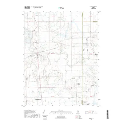
2018 Map of De Soto
USGS Topo · Published 2018About this map
The Big Muddy River and its major tributaries, including the Little Muddy River and Crab Orchard Creek, define the topography of this Southern Illinois landscape. The map centers on De Soto, showing a dense network of local roads such as Hurst Rd and W Lincoln St that connect the town to surrounding settlements like Bush, Hurst, and Cambria. To the south, the northern periphery of Carbondale is visible, including the sprawling grounds of the Southern Illinois Airport. Genealogists and local historians will find several well-documented burial sites across the quadrangle, including De Soto Cem, Dillinger Cem, and the McKinney Hill Cem near McKinney Hill. The transition from the rural lowlands of Shirley Slough to the upland elevations of Indian Hill illustrates the varied drainage patterns of Jackson and Williamson counties.
Find a feature on this map
107 named features on this map. Tap any name to fly to it.
Don’t see what you’re looking for? This feature index may not catch every label — zoom into the map to look around manually.
Map Details
Editions of this 2018 De Soto Map
This is the sole edition of this map. No revisions or reprints were ever made.
Other maps of this area

1910 · Herrin
USGS Topo · 1:62,500

1910 · Murphysboro
USGS Topo · 1:62,500

1922 · Carbondale
USGS Topo · 1:62,500

1924 · Alto Pass
USGS Topo · 1:62,500

1936 · Herrin
USGS Topo · 1:62,500

1938 · Murphysboro
USGS Topo · 1:62,500

1941 · Carbondale
USGS Topo · 1:62,500

1947 · Alto Pass
USGS Topo · 1:62,500
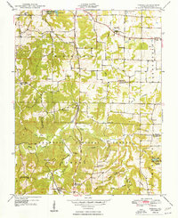
1948 · Pomona
USGS Topo · 1:24,000
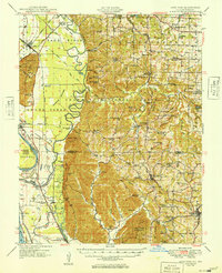
1949 · Alto Pass
USGS Topo · 1:62,500