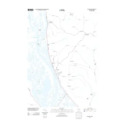
2013 Map of De Soto
USGS Topo · Published 2013About this map
The Mississippi River dominates this landscape, carving a complex network of side channels and wetlands that define the border between Iowa and Wisconsin. In the early 21st century, this corridor retains its intricate hydrography, featuring the wide Lake Winneshiek and numerous backwaters like Big Slough and McDonald Slough. The confluence with the Upper Iowa River is marked by a cluster of riverine landforms, including Henderson Island and Battle Island.
Find a feature on this map
67 named features on this map. Tap any name to fly to it.
Don’t see what you’re looking for? This feature index may not catch every label — zoom into the map to look around manually.
Map Details
Editions of this 2013 De Soto Map
This is the sole edition of this map. No revisions or reprints were ever made.
Other maps of this area

1903 · Waukon
USGS Topo · 1:125,000

1926 · Stoddard
USGS Topo · 1:62,500

1929 · Ferryville
USGS Topo · 1:62,500

1932 · Ferryville
USGS Topo · 1:62,500

1956 · Brownsville
USGS Topo · 1:62,500

1958 · La Crosse
USGS Topo · 1:250,000

1961 · La Crosse
USGS Topo · 1:250,000

1965 · La Crosse
USGS Topo · 1:250,000
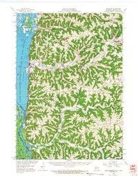
1965 · Stoddard
USGS Topo · 1:62,500

1966 · Ferryville
USGS Topo · 1:62,500