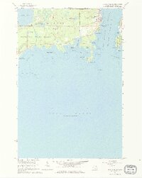
1964 Map of De Tour Village
USGS Topo · Published 1965About this map
De Tour Village stands as a pivotal maritime gateway where the Saint Marys River meets the northern expanse of Lake Huron. This 1964 field-checked survey details the intricate shoreline of the De Tour Passage, a critical navigational corridor between the mainland and Drummond Island. The landscape is defined by its industrial and navigational infrastructure, including the De Tour Lighthouse and another Lighthouse near Frying Pan Island, alongside several gravel pits and a quarry that point to the area's resource-based economy.
Find a feature on this map
46 named features on this map. Tap any name to fly to it.
Don’t see what you’re looking for? This feature index may not catch every label — zoom into the map to look around manually.
Map Details
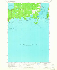
Editions of this 1964 De Tour Village Map
2 editions found
Other maps of this area

1954 · Alpena
USGS Topo · 1:250,000

1954 · Sault Sainte Marie
USGS Topo · 1:250,000

1955 · Cheboygan
USGS Topo · 1:250,000

1956 · Sault Sainte Marie
USGS Topo · 1:250,000

1957 · Alpena
USGS Topo · 1:250,000

1957 · Sault Sainte Marie
USGS Topo · 1:250,000

1958 · Cheboygan
USGS Topo · 1:250,000

1958 · Alpena
USGS Topo · 1:250,000

1958 · Sault Sainte Marie
USGS Topo · 1:250,000

1961 · Blind River
USGS Topo · 1:250,000
Featured Places
- De Tour Village, DeTour Village
- Detour Township, MI
- Drummond Township, MI
- DeTour Village, MI
- Chippewa County, MI