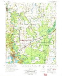
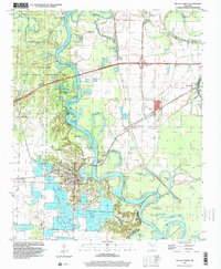
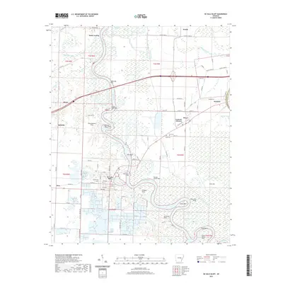
1971 Map of De Valls Bluff
USGS Topo · Published 1971About this map
The White River and Cache River dominate this landscape, creating a complex network of oxbow lakes, sloughs, and wetlands. This area of Prairie County is defined by the shifting paths of these waterways, which shaped the development of river towns like Des Arc and De Valls Bluff. The arrival of the Chicago Rock Island and Pacific railroad transformed the local economy, connecting smaller settlements such as Biscoe, Brasfield, and Mesa.
Find a feature on this map
87 named features on this map. Tap any name to fly to it.
Don’t see what you’re looking for? This feature index may not catch every label — zoom into the map to look around manually.
Map Details
Editions of this 1971 De Valls Bluff Map
This is the sole edition of this map. No revisions or reprints were ever made.
Historical Maps of Des Arc Through Time
10 maps found
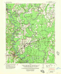
1941 De Valls Bluff
Prairie County, AR
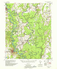
1957 De Valls Bluff
Prairie County, AR
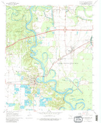
1968 De Valls Bluff
Prairie County, AR
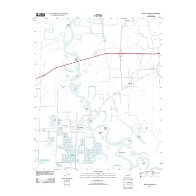
1971 De Valls Bluff
Prairie County, AR
1996 De Valls Bluff
Prairie County, AR
2011 De Valls Bluff
Prairie County, AR
2014 De Valls Bluff
Prairie County, AR
2017 De Valls Bluff
Prairie County, AR
2020 De Valls Bluff
Prairie County, AR
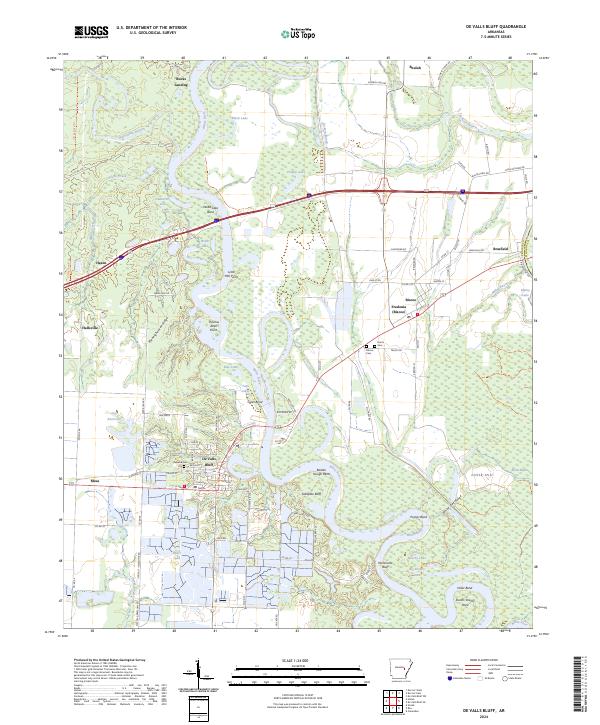
2024 De Valls Bluff
Prairie County, AR