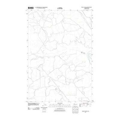
2011 Map of Dead Canyon
USGS Topo · Published 2011About this map
The Klickitat River carves through the eastern edge of this landscape, where steep drainages like Dead Canyon and Willis Canyon define the local topography. This early 21st-century survey reveals a region heavily reliant on its scattered water sources, documented through a dense network of named springs such as Wellenbrock Spring, Kuhnhausen Spring, and Ladies Spring. The presence of The Plateau suggests a significant upland feature between the deep canyons and the river valley below.
Find a feature on this map
42 named features on this map. Tap any name to fly to it.
Don’t see what you’re looking for? This feature index may not catch every label — zoom into the map to look around manually.
Map Details
Editions of this 2011 Dead Canyon Map
This is the sole edition of this map. No revisions or reprints were ever made.
Other maps of this area

1904 · Mount Adams
USGS Topo · 1:125,000

1907 · Mount Adams
USGS Topo · 1:125,000

1934 · The Dalles
USGS Topo · 1:125,000

1950 · Yakima
USGS Topo · 1:250,000

1953 · The Dalles
USGS Topo · 1:250,000

1956 · The Dalles
USGS Topo · 1:250,000

1957 · The Dalles
USGS Topo · 1:250,000

1957 · Klickitat
USGS Topo · 1:62,500

1957 · Husum
USGS Topo · 1:62,500

1958 · Yakima
USGS Topo · 1:250,000