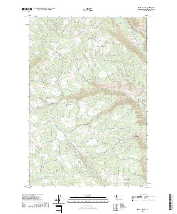
2023 Map of Dead Canyon
USGS Topo · Published 2023About this map
The Conboy Lake National Wildlife Refuge anchors the northwestern corner of this Klickitat County landscape, where the marshy remains of a historic lake bed transition into a complex network of canyons and upland springs. The eastern boundary is defined by the winding course of the Klickitat River, which cuts a deep channel near River Route Rd. This terrain is characterized by its numerous family-named water sources, such as Masondale Spring and Hathaway Spring, suggesting a history of high-country ranching and water management.
Find a feature on this map
62 named features on this map. Tap any name to fly to it.
Don’t see what you’re looking for? This feature index may not catch every label — zoom into the map to look around manually.
Map Details
Editions of this 2023 Dead Canyon Map
This is the sole edition of this map. No revisions or reprints were ever made.
Other maps of this area

1904 · Mount Adams
USGS Topo · 1:125,000

1907 · Mount Adams
USGS Topo · 1:125,000

1934 · The Dalles
USGS Topo · 1:125,000

1950 · Yakima
USGS Topo · 1:250,000

1953 · The Dalles
USGS Topo · 1:250,000

1956 · The Dalles
USGS Topo · 1:250,000

1957 · The Dalles
USGS Topo · 1:250,000

1957 · Klickitat
USGS Topo · 1:62,500

1957 · Husum
USGS Topo · 1:62,500

1958 · Yakima
USGS Topo · 1:250,000