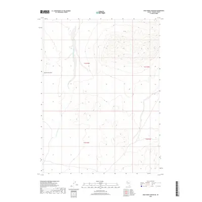
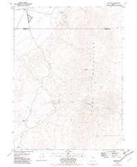
2018 Map of Dead Horse Canyon NE
USGS Topo · Published 2018About this map
Sheephead Mountains dominate the western edge of this Pershing County landscape, where steep contour lines reveal the abrupt elevation changes characteristic of the Great Basin. This high desert terrain is defined by the drainage patterns of Granite Springs Wash, which cuts a path through the alluvial fans between the peaks and the flatter basins. The map illustrates the Public Land Survey System grid with boundaries for t33n r28e, t33n r29e, t32n r28e, and t32n r29e, highlighting how administrative townships were laid out across this arid topography. The limited human infrastructure in this quadrant suggests a primary use for open-range ranching or conservation, focusing instead on the natural geomorphology of the Nevada interior.
Find a feature on this map
6 named features on this map. Tap any name to fly to it.
Don’t see what you’re looking for? This feature index may not catch every label — zoom into the map to look around manually.
Map Details
Editions of this 2018 Dead Horse Canyon NE Map
This is the sole edition of this map. No revisions or reprints were ever made.
Other maps of this area

1931 · Lovelock
USGS Topo · 1:250,000

1935 · Lovelock
USGS Topo · 1:250,000

1955 · Lovelock
USGS Topo · 1:250,000

1959 · Lovelock
USGS Topo · 1:250,000
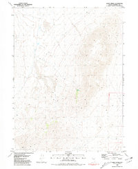
1981 · Sheep Spring
USGS Topo · 1:24,000
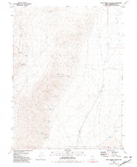
1981 · Dead Horse Canyon
USGS Topo · 1:24,000

1981 · Dead Horse Canyon NE
USGS Topo · 1:24,000

1981 · Placerites
USGS Topo · 1:24,000
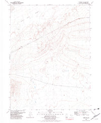
1981 · Cholona
USGS Topo · 1:24,000
1981 · Sulphur
USGS Topo · 1:24,000