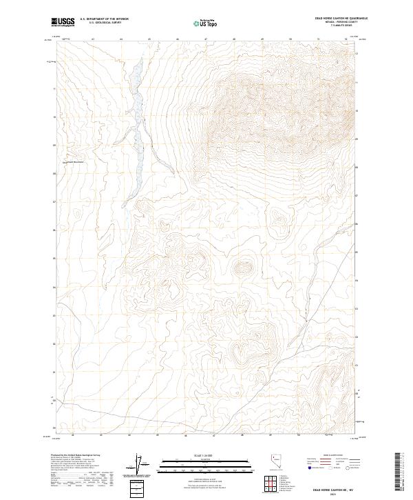
2021 Map of Dead Horse Canyon NE
USGS Topo · Published 2021About this map
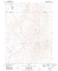
Sheephead Mountain dominates the western portion of this high-desert landscape in Pershing County, marking the transition between the rugged peaks and the intermittent drainages characteristic of the Great Basin. The terrain is structured around the Public Land Survey System grid, specifically covering portions of T33n R28e, T33n R29e, T32n R28e, and T32n R29e. This 2021 study reflects the contemporary topography of Nevada's interior, where isolated elevations dictate the movement of seasonal water through unnamed canyons and alluvial fans. The map provides a detailed view of the section lines and township boundaries that define land ownership and management in this sparsely populated region.
Find a feature on this map
5 named features on this map. Tap any name to fly to it.
Don’t see what you’re looking for? This feature index may not catch every label — zoom into the map to look around manually.
Map Details
Editions of this 2021 Dead Horse Canyon NE Map
This is the sole edition of this map. No revisions or reprints were ever made.
Other maps of this area

1931 · Lovelock
USGS Topo · 1:250,000

1935 · Lovelock
USGS Topo · 1:250,000

1955 · Lovelock
USGS Topo · 1:250,000

1959 · Lovelock
USGS Topo · 1:250,000
1981 · Sheep Spring
USGS Topo · 1:24,000
1981 · Dead Horse Canyon
USGS Topo · 1:24,000

1981 · Dead Horse Canyon NE
USGS Topo · 1:24,000

1981 · Placerites
USGS Topo · 1:24,000
1981 · Cholona
USGS Topo · 1:24,000
1981 · Sulphur
USGS Topo · 1:24,000