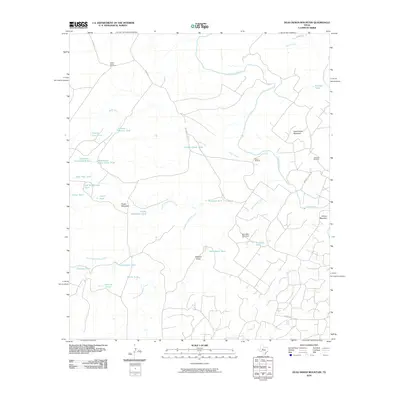
2010 Map of Dead Indian Mountain
USGS Topo · Published 2010About this map
Dead Indian Mountain and Wilson Mountain rise above the ranchlands of Sterling and Mitchell Counties, framing a landscape defined by water management and mineral extraction. The Colorado River cuts through the northern half of this terrain, joined by several drainage systems including Heifer Creek, Rough Creek, and the various branches of Gasconades Creek. A dense network of named livestock tanks, such as Harvey Martin Tank, Old McWhorter Tank, and Scudday Tank, indicates the vital importance of water storage in this semi-arid environment. Economic activity is anchored by the Jameson Oil Field on the eastern edge of the quadrangle and a series of windmills, including the Lucky Strike Windmill, which support the region's agricultural infrastructure. The topography is also shaped by features like Westfall Draw and Snake Mountain, connected by a grid of rural routes including Mitchell County RD and F.M. RD. 2742.
Find a feature on this map
38 named features on this map. Tap any name to fly to it.
Don’t see what you’re looking for? This feature index may not catch every label — zoom into the map to look around manually.
Map Details
Editions of this 2010 Dead Indian Mountain Map
This is the sole edition of this map. No revisions or reprints were ever made.
Other maps of this area

1954 · Big Spring
USGS Topo · 1:250,000

1954 · San Angelo
USGS Topo · 1:250,000

1958 · San Angelo
USGS Topo · 1:250,000

1958 · Big Spring
USGS Topo · 1:250,000

1959 · Pecan Crossing
USGS Topo · 1:24,000

1959 · Dam Draw
USGS Topo · 1:24,000

1959 · Silver
USGS Topo · 1:24,000

1959 · Spade Ranch
USGS Topo · 1:24,000

1959 · McWhorter Mountain
USGS Topo · 1:24,000

1959 · Dead Indian Mountain
USGS Topo · 1:24,000