
1959 Map of Silver
USGS Topo · Published 1960About this map
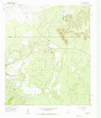
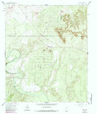
The Jameson Strawn Oil Field dominates this West Texas landscape, where a dense network of pipelines and service roads supports an intensive petroleum economy. The small settlement of Silver sits at the heart of this activity, positioned near a Refinery and the prominent Silver Peak. To the north, the Panhandle and Santa Fe railroad cuts across the terrain, skirting the McCabe Oil Field and crossing Little Silver Creek. Local genealogy is anchored by the McKenzie Cem in the northwest and Cedar Hill Cem near the banks of the Colorado River. The geography is defined by mesas and hills like Stepp Mountain and Jackson Mtn, while the western edge of the map follows the winding path of the river, marked by several quarries and irrigation infrastructure.
Find a feature on this map
24 named features on this map. Tap any name to fly to it.
Don’t see what you’re looking for? This feature index may not catch every label — zoom into the map to look around manually.
Map Details
Editions of this 1959 Silver Map
Other maps of this area

1954 · Big Spring
USGS Topo · 1:250,000

1954 · San Angelo
USGS Topo · 1:250,000

1958 · San Angelo
USGS Topo · 1:250,000

1958 · Big Spring
USGS Topo · 1:250,000

1959 · Pecan Crossing
USGS Topo · 1:24,000

1959 · Dam Draw
USGS Topo · 1:24,000

1959 · Dead Indian Mountain
USGS Topo · 1:24,000

1962 · Edith
USGS Topo · 1:24,000

1962 · Sanco
USGS Topo · 1:24,000

1962 · Green Mountain
USGS Topo · 1:24,000