
1962 Map of Green Mountain
USGS Topo · Published 1964About this map
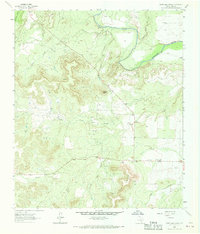
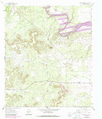
The Colorado River winds through the northern portion of this Coke County landscape, carving a path through terrain marked by sharp elevation changes and deep draws. By the early 1960s, the region’s economic character was defined by a mix of ranching and petroleum extraction, evidenced by the South Lyday Oil Field and scattered Oil Wells. The interior is crisscrossed by seasonal waterways like Rough Creek and Bitter Creek, which flow toward the river between prominent landmarks such as Shaggy Peak. Social life in this rural stretch centered on small hubs like the Green Mountain Community Center and Pecan Ch, while family history is rooted at the Terry Cem located near a local Spring. This survey captures the transition of the West Texas landscape as it balanced traditional land use with the growing footprint of the energy industry.
Find a feature on this map
17 named features on this map. Tap any name to fly to it.
Don’t see what you’re looking for? This feature index may not catch every label — zoom into the map to look around manually.
Map Details
Editions of this 1962 Green Mountain Map
3 editions found
Other maps of this area

1954 · Big Spring
USGS Topo · 1:250,000

1954 · San Angelo
USGS Topo · 1:250,000

1958 · San Angelo
USGS Topo · 1:250,000

1958 · Big Spring
USGS Topo · 1:250,000

1959 · Silver
USGS Topo · 1:24,000

1959 · Dead Indian Mountain
USGS Topo · 1:24,000

1962 · Edith
USGS Topo · 1:24,000

1962 · Sanco
USGS Topo · 1:24,000
1962 · Millican Mountains
USGS Topo · 1:24,000

1965 · San Angelo
USGS Topo · 1:250,000