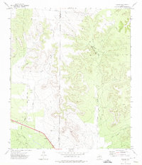
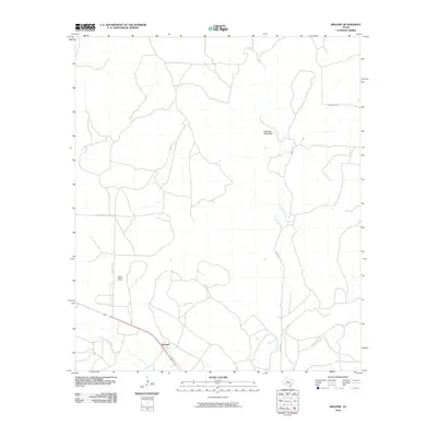
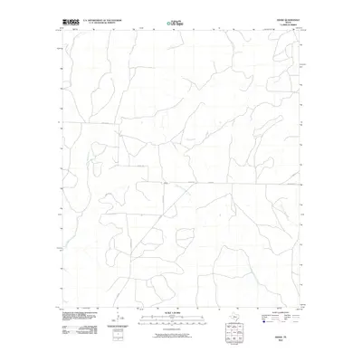
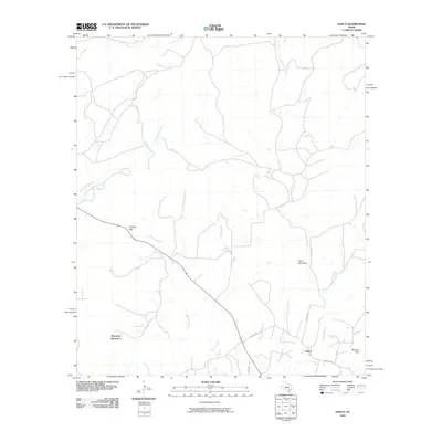
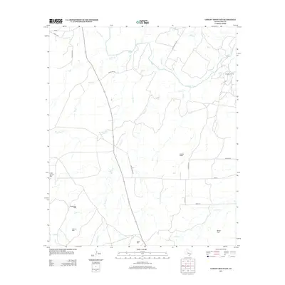
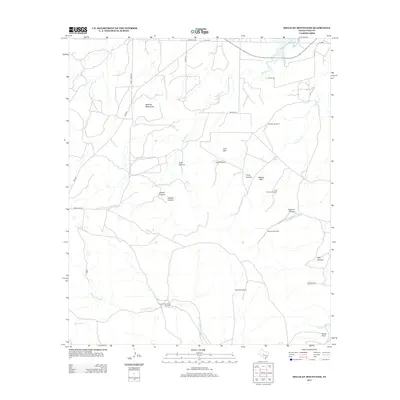
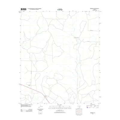
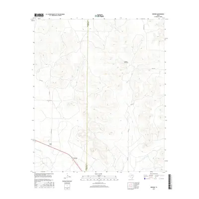
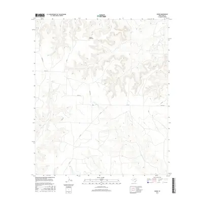
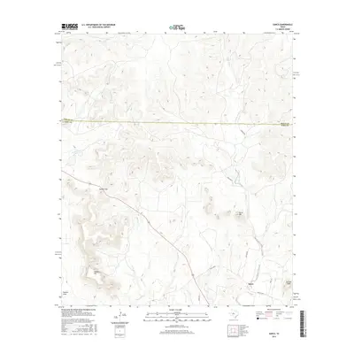
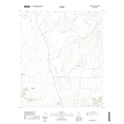
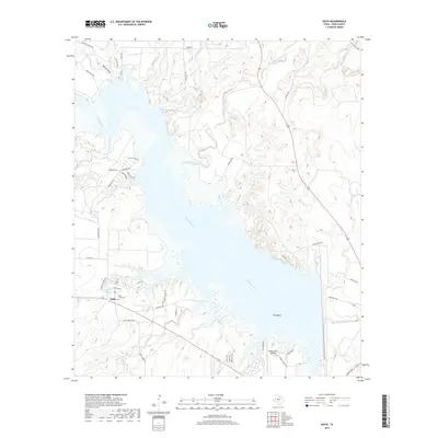
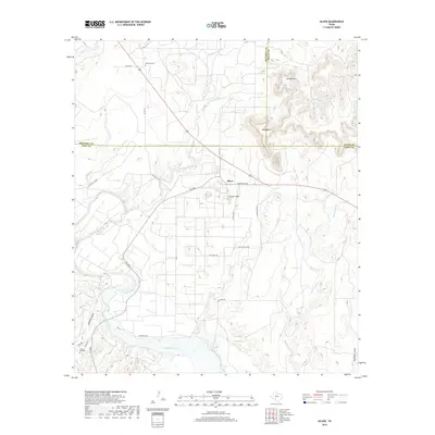
1959 Map of Silver
USGS Topo · Published 1960About this map
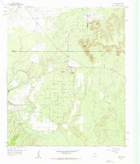
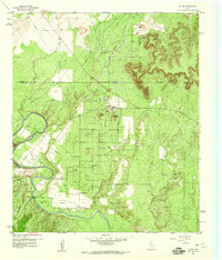
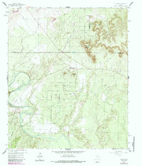
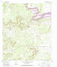
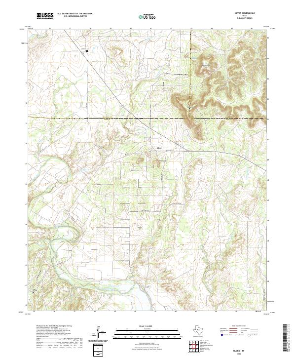
The Colorado River meanders through the southwestern corner of this West Texas landscape, where the mid-century energy economy is clearly etched into the terrain. Located at the intersection of Mitchell, Nolan, and Coke counties, the small settlement of Silver serves as a central hub for the surrounding industrial activity. The map reveals an extensive infrastructure supporting the Jameson Oil Field and Jameson Strawn Oil Field, including a Refinery, a Microwave Sta, and a TV Tower. Transportation and logistics are defined by the Panhandle And Santa Fe (At & Sf) railroad and various pipelines crossing the draws and creeks.
Find a feature on this map
31 named features on this map. Tap any name to fly to it.
Don’t see what you’re looking for? This feature index may not catch every label — zoom into the map to look around manually.
Map Details
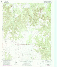
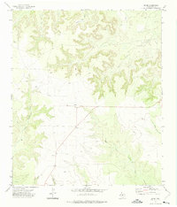
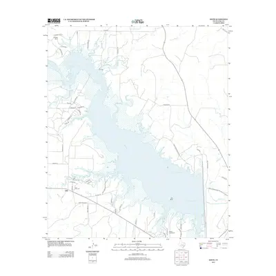
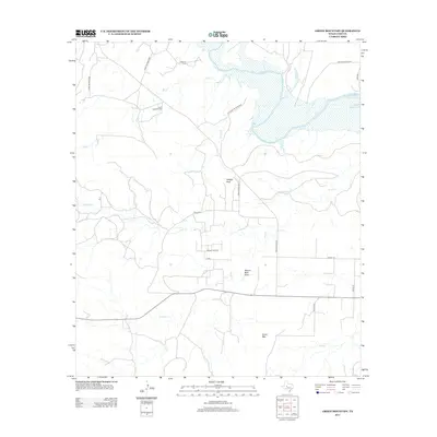
Editions of this 1959 Silver Map
Historical Maps of Silver Through Time
73 maps found
1921 Mays School
Coke County, TX
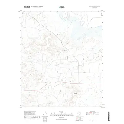
1959 Dead Indian Mountain
Coke County, TX
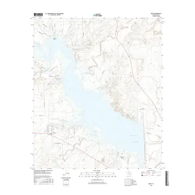
1959 Silver
Coke County, TX
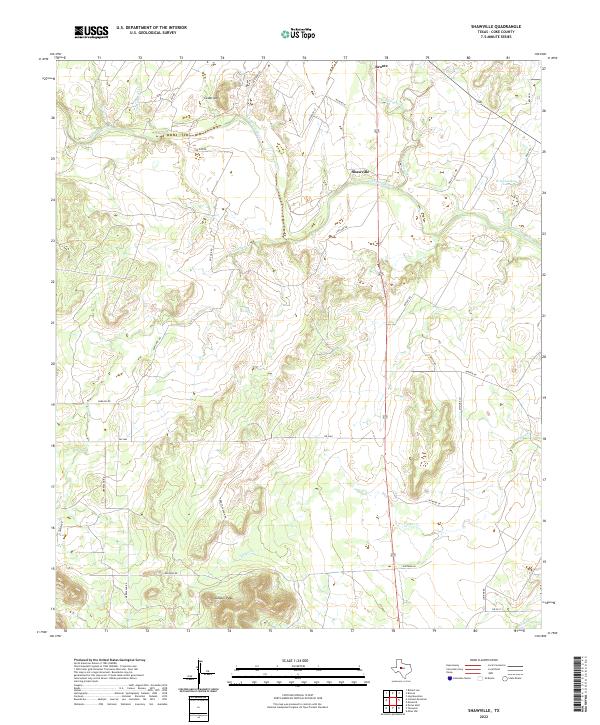
1961 Shawville
Coke County, TX
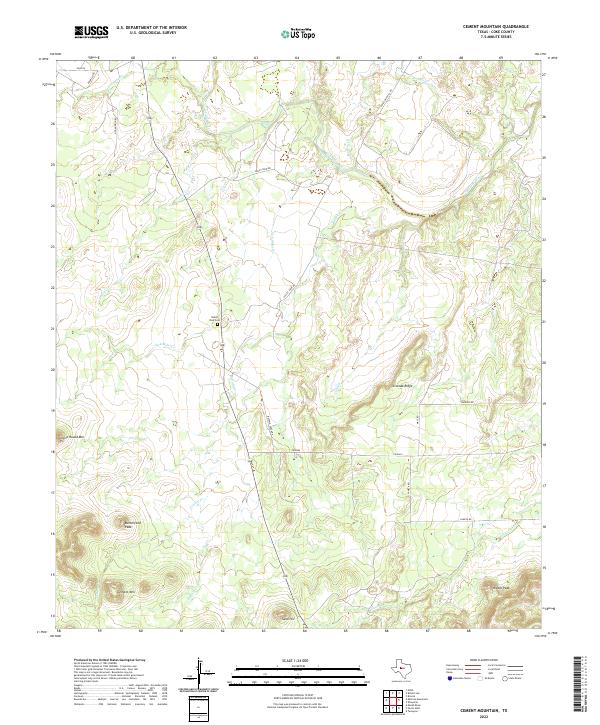
1962 Cement Mountain
Coke County, TX
1962 Edith
Coke County, TX
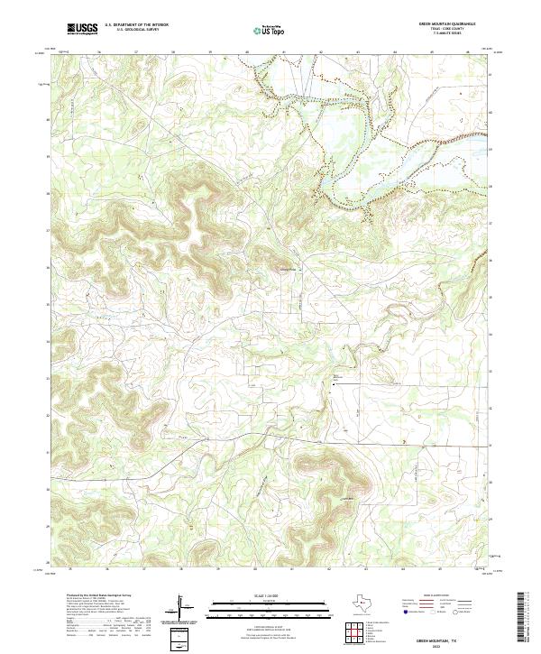
1962 Green Mountain
Coke County, TX
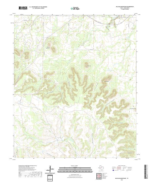
1962 Millican Mountains
Coke County, TX
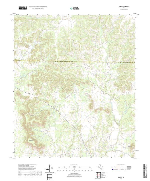
1962 Sanco
Coke County, TX
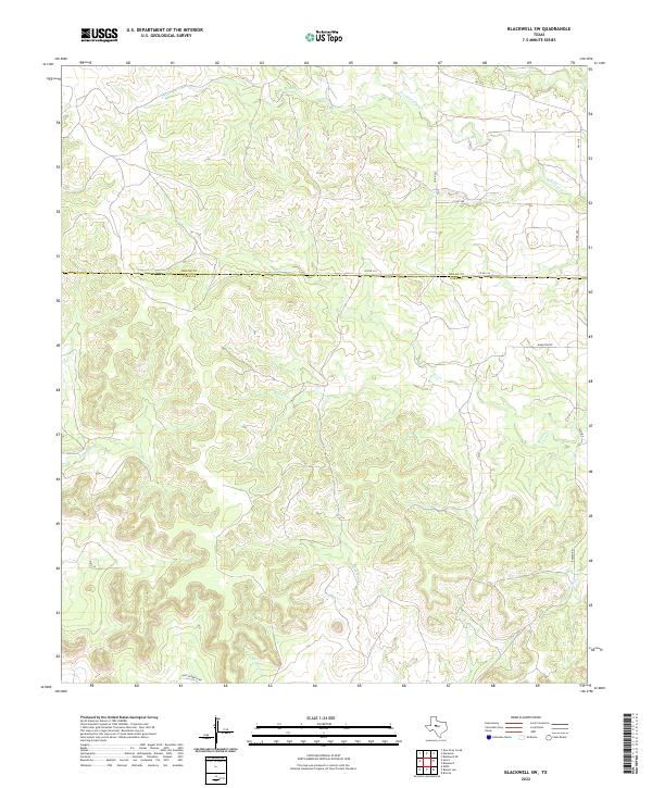
1969 Blackwell SW
Coke County, TX
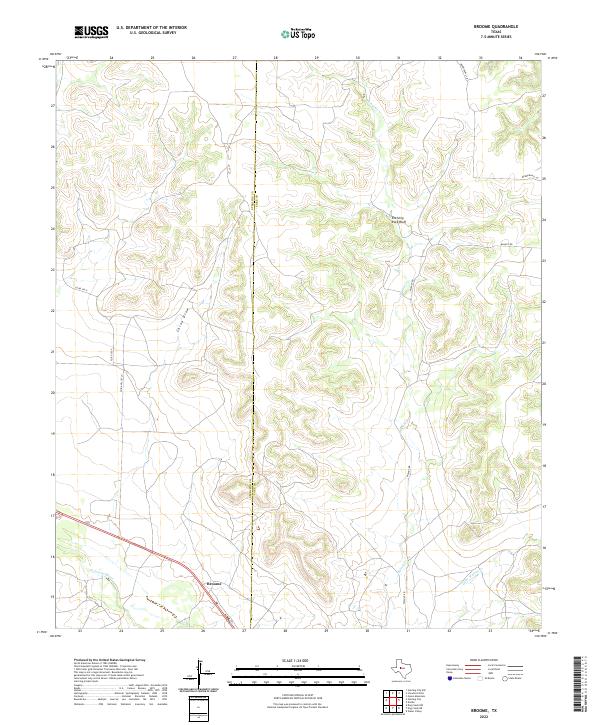
1972 Broome
Coke County, TX
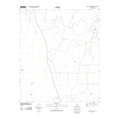
1972 Crawford Slide
Coke County, TX
1972 Divide
Coke County, TX
2010 Blackwell SW
Coke County, TX
2010 Broome
Coke County, TX
2010 Cement Mountain
Coke County, TX
2010 Crawford Slide
Coke County, TX
2010 Dead Indian Mountain
Coke County, TX
2010 Divide
Coke County, TX
2010 Edith
Coke County, TX
2010 Green Mountain
Coke County, TX
2010 Millican Mountains
Coke County, TX
2010 Sanco
Coke County, TX
2010 Shawville
Coke County, TX
2010 Silver
Coke County, TX
2012 Blackwell SW
Coke County, TX
2012 Cement Mountain
Coke County, TX
2012 Crawford Slide
Coke County, TX
2012 Dead Indian Mountain
Coke County, TX
2012 Divide
Coke County, TX
2012 Millican Mountains
Coke County, TX
2012 Sanco
Coke County, TX
2012 Shawville
Coke County, TX
2012 Silver
Coke County, TX
2013 Broome
Coke County, TX
2013 Edith
Coke County, TX
2013 Green Mountain
Coke County, TX
2016 Blackwell SW
Coke County, TX
2016 Broome
Coke County, TX
2016 Cement Mountain
Coke County, TX
2016 Crawford Slide
Coke County, TX
2016 Dead Indian Mountain
Coke County, TX
2016 Divide
Coke County, TX
2016 Edith
Coke County, TX
2016 Green Mountain
Coke County, TX
2016 Millican Mountains
Coke County, TX
2016 Sanco
Coke County, TX
2016 Shawville
Coke County, TX
2016 Silver
Coke County, TX

2019 Blackwell SW
Coke County, TX
2019 Broome
Coke County, TX
2019 Cement Mountain
Coke County, TX
2019 Crawford Slide
Coke County, TX
2019 Dead Indian Mountain
Coke County, TX
2019 Divide
Coke County, TX
2019 Edith
Coke County, TX
2019 Green Mountain
Coke County, TX
2019 Millican Mountains
Coke County, TX

2019 Sanco
Coke County, TX
2019 Shawville
Coke County, TX
2019 Silver
Coke County, TX
2022 Blackwell SW
Coke County, TX
2022 Broome
Coke County, TX
2022 Cement Mountain
Coke County, TX
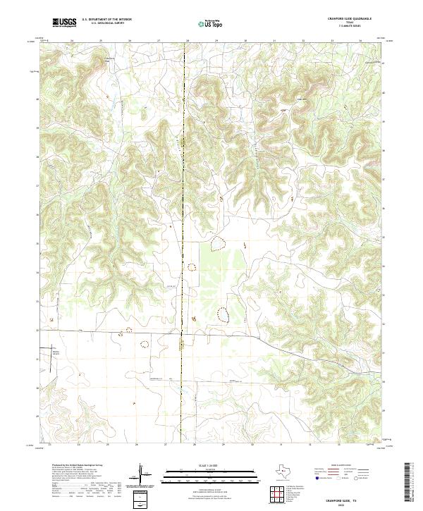
2022 Crawford Slide
Coke County, TX
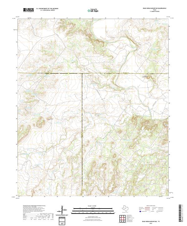
2022 Dead Indian Mountain
Coke County, TX
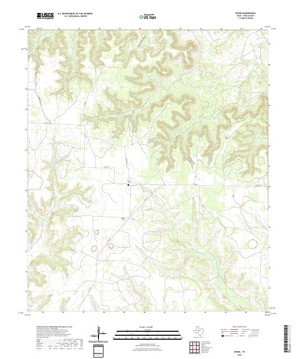
2022 Divide
Coke County, TX
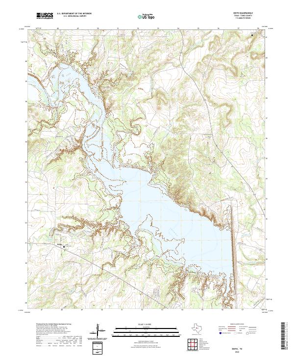
2022 Edith
Coke County, TX
2022 Green Mountain
Coke County, TX
2022 Millican Mountains
Coke County, TX
2022 Sanco
Coke County, TX
2022 Shawville
Coke County, TX
2022 Silver
Coke County, TX