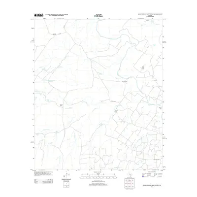
2012 Map of Dead Indian Mountain
USGS Topo · Published 2012About this map
The Colorado River winds through this Sterling County landscape, which is defined by an extensive network of water management features and isolated peaks. Named summits like Dead Indian Mtn, Snake Mtn, and Wilson Mtn rise above the surrounding terrain, while an intricate system of stock tanks and windmills supports the regional ranching operations. Notable installations include the Lucky Strike Windmill, Old McWhorter Tank, and Harvey Martin Tank. These features, along with names like Nan Hatty Tank and Scudday Tank, provide insight into the land ownership and agricultural history of this West Texas territory. The northern portion of the Jameson Oil Field also appears, indicating the region's intersection of traditional ranching and petroleum extraction. Several county roads, including Mitchell Co RD and Co RD-345, provide access to the remote draws and creek beds of Walnut Cr and N Gasconades Cr.
Find a feature on this map
38 named features on this map. Tap any name to fly to it.
Don’t see what you’re looking for? This feature index may not catch every label — zoom into the map to look around manually.
Map Details
Editions of this 2012 Dead Indian Mountain Map
This is the sole edition of this map. No revisions or reprints were ever made.
Other maps of this area

1954 · Big Spring
USGS Topo · 1:250,000

1954 · San Angelo
USGS Topo · 1:250,000

1958 · San Angelo
USGS Topo · 1:250,000

1958 · Big Spring
USGS Topo · 1:250,000

1959 · Pecan Crossing
USGS Topo · 1:24,000

1959 · Dam Draw
USGS Topo · 1:24,000

1959 · Silver
USGS Topo · 1:24,000

1959 · Spade Ranch
USGS Topo · 1:24,000

1959 · McWhorter Mountain
USGS Topo · 1:24,000

1959 · Dead Indian Mountain
USGS Topo · 1:24,000