
1945 Map of Dead Lake
USGS Topo · Published 1945About this map
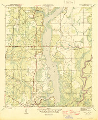
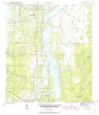
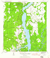
Dead Lake dominates this mid-1940s landscape, serving as a central watery divide between Gulf, Calhoun, and Liberty Counties. The map reveals a complex wetland environment where the Apalachicola River and Florida River wind through the eastern reaches, connected by the Chipola Cutoff. On the western shore, the settlement of Chipola Park and the State Fish Hatchery mark the intersection of local industry and the natural environment. Genealogists can locate family landmarks such as Jehu Cem and small riverfront sites like Iola and Kentucky Ldg. This survey captures the region just before significant modern development, showing the winding paths of Stone Mill Creek and Sweetwater Creek as they feed into the swampy basin. The network of dirt roads, including Porter Landing Road, illustrates the rural connectivity required for timber and river trade during this era.
Find a feature on this map
15 named features on this map. Tap any name to fly to it.
Don’t see what you’re looking for? This feature index may not catch every label — zoom into the map to look around manually.
Map Details
Editions of this 1945 Dead Lake Map
4 editions found
Other maps of this area

1945 · Kennedy Creek
USGS Topo · 1:31,680

1945 · Broad Branch
USGS Topo · 1:31,680

1945 · Estiffanulga
USGS Topo · 1:31,680

1945 · Orange
USGS Topo · 1:31,680

1945 · Frink
USGS Topo · 1:31,680

1945 · Wewahitchka
USGS Topo · 1:31,680

1945 · Wetappo Creek
USGS Topo · 1:31,680

1945 · Tenmile Swamp
USGS Topo · 1:31,680

1954 · Tallahassee
USGS Topo · 1:250,000

1959 · Tallahassee
USGS Topo · 1:250,000