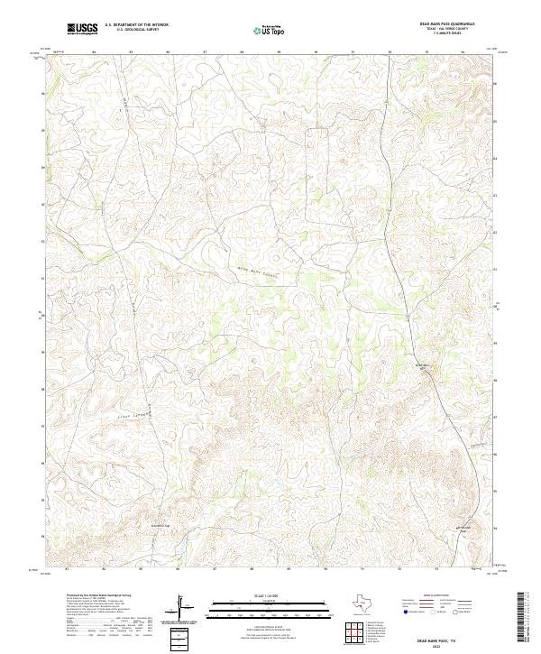
2022 Map of Dead Mans Pass
USGS Topo · Published 2022About this map
Dead Mans Pass anchors this survey of a remote and topographically complex portion of Val Verde County. The landscape is defined by a dense network of intermittent watercourses and natural apertures in the terrain, including Sevenmile Gap and Rattlesnake Gap. These gaps likely served as critical transit points for early ranchers and travelers navigating the high ground between canyon systems. Dead Mans Canyon and Crazy Canyon cut deep into the plateau, draining into smaller seasonal branches like Cow Cr and Dead Mans Cr. Human presence in this arid environment is represented by Ranch Rd 1024 and the Dickerson Ranch, reflecting the area's legacy of large-scale land holdings and cattle operations that have persisted for generations in the Texas borderlands.
Find a feature on this map
11 named features on this map. Tap any name to fly to it.
Don’t see what you’re looking for? This feature index may not catch every label — zoom into the map to look around manually.
Map Details
Editions of this 2022 Dead Mans Pass Map
This is the sole edition of this map. No revisions or reprints were ever made.
Other maps of this area

1941 · Feely
USGS Topo · 1:62,500

1943 · Shumla
USGS Topo · 1:62,500

1944 · Mouth Of Pecos
USGS Topo · 1:62,500

1944 · Baker Crossing
USGS Topo · 1:62,500

1958 · Del Rio
USGS Topo · 1:250,000

1964 · Del Rio
USGS Topo · 1:250,000

1972 · Seminole Canyon
USGS Topo · 1:24,000
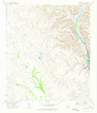
1972 · Gillis Ranch
USGS Topo · 1:24,000
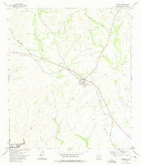
1972 · Comstock
USGS Topo · 1:24,000
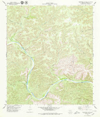
1979 · Telephone Canyon
USGS Topo · 1:24,000