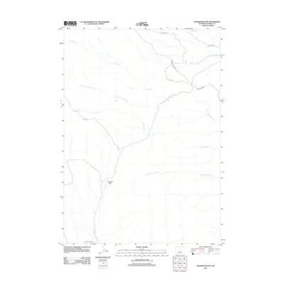
2012 Map of Deadman Butte
USGS Topo · Published 2012About this map
Deadman Butte rises as a central landmark in this high-desert portion of Natrona County, where a complex network of seasonal drainages defines the basin floor. The hydrologic landscape is dominated by the Cottonwood Cr system, including its north and south forks, which gather runoff from features like Black Mesa. Water access in this arid environment is highlighted by Sanchez Spring, a vital point of interest for understanding early land use and stock movement in the region.
Find a feature on this map
15 named features on this map. Tap any name to fly to it.
Don’t see what you’re looking for? This feature index may not catch every label — zoom into the map to look around manually.
Map Details
Editions of this 2012 Deadman Butte Map
This is the sole edition of this map. No revisions or reprints were ever made.
Other maps of this area

1952 · Deadman Butte
USGS Topo · 1:24,000

1952 · Grave Spring
USGS Topo · 1:24,000

1952 · Arminto
USGS Topo · 1:24,000

1952 · Waltman NW
USGS Topo · 1:24,000

1952 · Badwater NE
USGS Topo · 1:24,000

1952 · Badwater SE
USGS Topo · 1:24,000

1955 · Arminto
USGS Topo · 1:250,000

1958 · Arminto
USGS Topo · 1:250,000

1962 · Arminto
USGS Topo · 1:250,000

1968 · First Water Draw
USGS Topo · 1:24,000