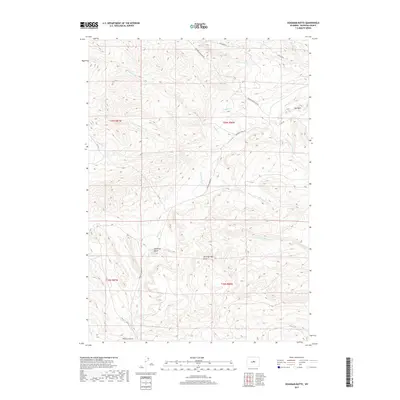
2017 Map of Deadman Butte
USGS Topo · Published 2017About this map
Deadman Butte rises as a prominent landmark in this high-elevation landscape of Natrona County, defined by a complex network of seasonal drainages and geological formations. The terrain is deeply incised by the various branches of Cottonwood Creek, including the N Fork Cottonwood Cr and S Fork Cottonwood Cr, which together shape the local topography. Notable geological features like Black Mesa and the striking Red Wall indicate the area's varied stratigraphic character.
Find a feature on this map
21 named features on this map. Tap any name to fly to it.
Don’t see what you’re looking for? This feature index may not catch every label — zoom into the map to look around manually.
Map Details
Editions of this 2017 Deadman Butte Map
This is the sole edition of this map. No revisions or reprints were ever made.
Other maps of this area

1952 · Deadman Butte
USGS Topo · 1:24,000

1952 · Grave Spring
USGS Topo · 1:24,000

1952 · Arminto
USGS Topo · 1:24,000

1952 · Waltman NW
USGS Topo · 1:24,000

1952 · Badwater NE
USGS Topo · 1:24,000

1952 · Badwater SE
USGS Topo · 1:24,000

1955 · Arminto
USGS Topo · 1:250,000

1958 · Arminto
USGS Topo · 1:250,000

1962 · Arminto
USGS Topo · 1:250,000

1968 · First Water Draw
USGS Topo · 1:24,000