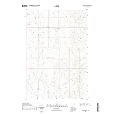
2020 Map of Deadman Creek
USGS Topo · Published 2020About this map
N Sunday Cr and its tributaries define the drainage patterns of this central Custer County landscape. The area is marked by a network of seasonal watercourses and coulees, including Owens Coulee and Cow Cr, which carve through the high plains. A primary point of local infrastructure is the North Fork of Sunday Creek Bridge, providing a crossing point in the southern portion of the quadrangle. Transport through this rangeland is facilitated by Deadman Rd, which runs north-south, roughly paralleling the course of Deadman Cr. The map illustrates a typical eastern Montana drainage system, where intermittent flows like Crooked Cr have shaped the land between the established township and range lines.
Find a feature on this map
11 named features on this map. Tap any name to fly to it.
Don’t see what you’re looking for? This feature index may not catch every label — zoom into the map to look around manually.
Map Details
Editions of this 2020 Deadman Creek Map
This is the sole edition of this map. No revisions or reprints were ever made.
Other maps of this area

1953 · Miles City
USGS Topo · 1:250,000

1954 · Forsyth
USGS Topo · 1:250,000

1957 · Miles City
USGS Topo · 1:250,000

1957 · Forsyth
USGS Topo · 1:250,000

1958 · Miles City
USGS Topo · 1:250,000

1958 · Forsyth
USGS Topo · 1:250,000

1968 · Big Hill
USGS Topo · 1:24,000

1968 · Miles City
USGS Topo · 1:24,000

1968 · Butterfly Creek
USGS Topo · 1:24,000

1969 · Horse Creek Hill
USGS Topo · 1:24,000