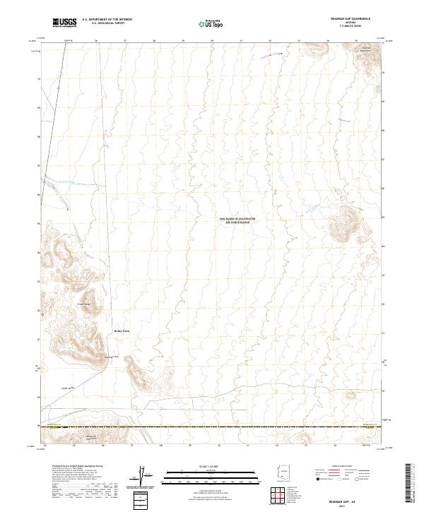
2021 Map of Deadman Gap
USGS Topo · Published 2021About this map
Deadman Gap sits as a prominent passage within the dry basin and range country along the border of Maricopa and Pima counties. The landscape is defined by volcanic features, most notably the Crater Range to the west and the northern reaches of the Batamote Mountains to the south. These uplifted masses flank Childs Valley, a broad drainage area where seasonal flows like Midway Wash move through the desert floor.
Find a feature on this map
14 named features on this map. Tap any name to fly to it.
Don’t see what you’re looking for? This feature index may not catch every label — zoom into the map to look around manually.
Map Details
Editions of this 2021 Deadman Gap Map
This is the sole edition of this map. No revisions or reprints were ever made.
Other maps of this area

1932 · Ajo
USGS Topo · 1:62,500

1934 · Ajo
USGS Topo · 1:62,500

1953 · Ajo
USGS Topo · 1:250,000

1957 · Ajo
USGS Topo · 1:250,000

1958 · Ajo
USGS Topo · 1:250,000

1958 · Midway
USGS Topo · 1:62,500

1958 · Hat Mountain
USGS Topo · 1:62,500

1962 · Ajo
USGS Topo · 1:250,000

1963 · Ajo
USGS Topo · 1:250,000

1963 · Ajo
USGS Topo · 1:62,500