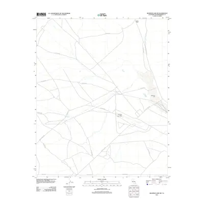
2012 Map of Deadman Lake SW
USGS Topo · Published 2012About this map
Deadman Lake dominates the eastern edge of this San Bernardino County landscape, situated within the expansive 29 Palms MCAG military installation. The area is defined by its arid geography, where ephemeral water features such as Bullion Wash and Keys Lake punctuate the high desert floor. Significant infrastructure supporting the region's unique aviation and military needs is evident at the Twentynine Palms SELF Airport. This modern survey illustrates a network of desert roads including Surprise Springs Rd and Coyote Valley Rd, which facilitate movement between military zones and natural landmarks like Surprise Spring. The map reflects the contemporary character of this Mojave Desert sector, where tactical training grounds and specialized aviation facilities coexist with traditional landmarks like Montezuma Rd.
Find a feature on this map
12 named features on this map. Tap any name to fly to it.
Don’t see what you’re looking for? This feature index may not catch every label — zoom into the map to look around manually.
Map Details
Editions of this 2012 Deadman Lake SW Map
This is the sole edition of this map. No revisions or reprints were ever made.
Other maps of this area

1953 · San Bernardino
USGS Topo · 1:250,000

1954 · Hidalgo Mtn
USGS Topo · 1:24,000

1955 · Deadman Lake NW
USGS Topo · 1:24,000

1955 · Goat Mountain
USGS Topo · 1:24,000

1955 · Deadman Lake SE
USGS Topo · 1:24,000

1955 · Deadman Lake NE
USGS Topo · 1:24,000

1955 · Deadman Lake SW
USGS Topo · 1:24,000

1955 · Twentynine Palms
USGS Topo · 1:24,000

1955 · Twentynine Palms
USGS Topo · 1:62,500

1955 · Emerson Lake
USGS Topo · 1:62,500