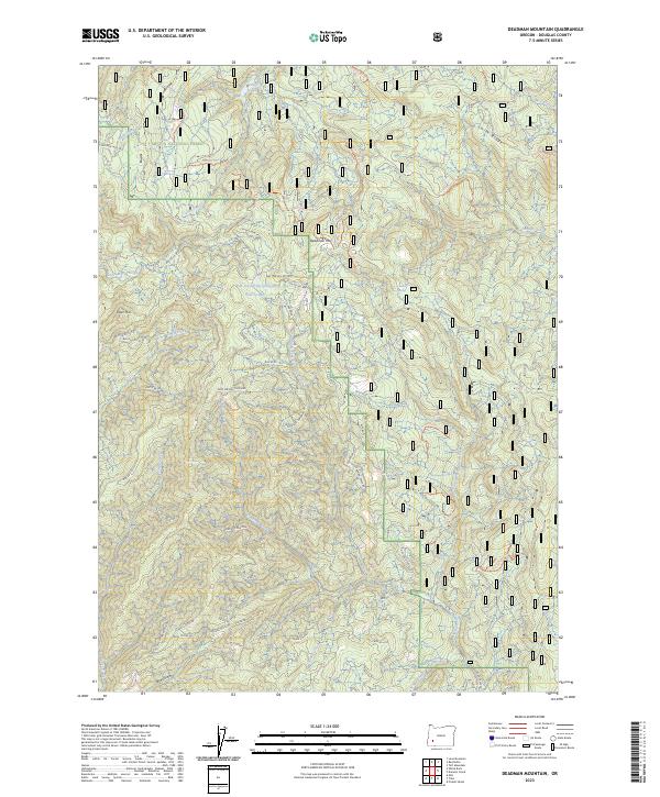
2023 Map of Deadman Mountain
USGS Topo · Published 2023About this map
Umpqua National Forest defines the rugged geography of this Douglas County quadrangle, where high ridges like Smith Ridge and peaks including Deadman Mountain and Tater Hill separate deeply incised drainages. The landscape is a network of forestry management and resource extraction, evidenced by the extensive Bureau of Land Management road system and areas like Deer Springs Thinning. Water sources are vital in this terrain, ranging from Cultus Lake in the north to the Middle Fork Deadman Creek. Local history and industry are grounded in specific sites such as Maude's Mine Sp and the Red Top Spring Helipond. The map also traces narrow tracks like the Texas Coffee Sp Narrow Track through Texas Gulch, illustrating the specialized access required for mountain operations in the 21st century.
Find a feature on this map
74 named features on this map. Tap any name to fly to it.
Don’t see what you’re looking for? This feature index may not catch every label — zoom into the map to look around manually.
Map Details
Editions of this 2023 Deadman Mountain Map
This is the sole edition of this map. No revisions or reprints were ever made.
Other maps of this area

1891 · Ashland
USGS Topo · 1:250,000

1893 · Ashland
USGS Topo · 1:250,000

1897 · Roseburg
USGS Topo · 1:125,000

1897 · Ashland
USGS Topo · 1:250,000

1900 · Roseburg
USGS Topo · 1:125,000

1904 · Riddle
USGS Topo · 1:125,000

1944 · Tiller
USGS Topo · 1:62,500

1954 · Dixonville
USGS Topo · 1:62,500

1954 · Days Creek
USGS Topo · 1:62,500

1955 · Red Butte
USGS Topo · 1:62,500