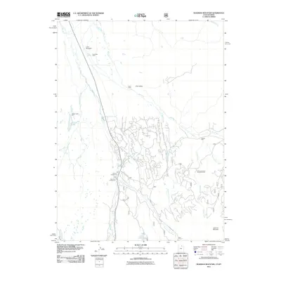
2011 Map of Deadman Mountain
USGS Topo · Published 2011About this map
Bear River drainage systems define this high-altitude landscape in Summit County, where the river's main stem and the East Fork Bear River converge. The area serves as a significant recreational and ranching hub, anchored by the Hill Air Force Base Recreation Camp and established family holdings like the Burts-Miller Ranch and Island Ranch. A network of mountain roads such as Alpine Rd and Aspen Dr provides access to seasonal campsites at Bear River Campground and East Fork Campground. Water management and natural features are prominent, including the Grassy Lake Dam at Grassy Lake, and the remote Lily Lake situated near the southern boundary. Rising above the river valleys, Deadman Mountain and Lone Mountain provide clear topographic landmarks for this region of the Uinta Mountains, while smaller cabins like Mackays Cabin dot the drainages of Mill Creek and Carter Creek.
Find a feature on this map
29 named features on this map. Tap any name to fly to it.
Don’t see what you’re looking for? This feature index may not catch every label — zoom into the map to look around manually.
Map Details
Editions of this 2011 Deadman Mountain Map
This is the sole edition of this map. No revisions or reprints were ever made.
Other maps of this area

1885 · Uinta
USGS Topo · 1:250,000

1901 · Hayden Peak
USGS Topo · 1:125,000

1903 · Hayden Peak
USGS Topo · 1:125,000

1954 · Salt Lake City
USGS Topo · 1:250,000

1954 · Ogden
USGS Topo · 1:250,000

1958 · Ogden
USGS Topo · 1:250,000

1958 · Salt Lake City
USGS Topo · 1:250,000

1960 · Ogden
USGS Topo · 1:250,000

1960 · Salt Lake City
USGS Topo · 1:250,000

1965 · Myers Reservoir
USGS Topo · 1:24,000