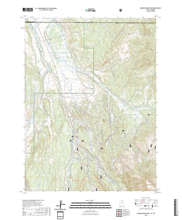
2023 Map of Deadman Mountain
USGS Topo · Published 2023About this map
Wasatch National Forest dominates this high-elevation landscape along the border of Utah and Wyoming. The intricate network of irrigation systems, including the Hilliard Canal and Hilliard East Fork Canal, reflects the engineering efforts required to manage water in this semi-arid environment. These man-made channels diverge from the Bear River and its tributaries, such as the West Fork Bear River, carving through terrain defined by peaks like Lone Mtn and Deadman Mtn. A significant concentration of recreation trails, including the Lily Lake Ski Trl (Sage Draw) Trl and the Wolverine Atv G Trl, indicates a modern shift toward seasonal use. The proximity of Grassy Lakes and Lily Lake further emphasizes the area’s importance as a watershed and recreational corridor for the surrounding communities.
Find a feature on this map
51 named features on this map. Tap any name to fly to it.
Don’t see what you’re looking for? This feature index may not catch every label — zoom into the map to look around manually.
Map Details
Editions of this 2023 Deadman Mountain Map
This is the sole edition of this map. No revisions or reprints were ever made.
Other maps of this area

1885 · Uinta
USGS Topo · 1:250,000

1901 · Hayden Peak
USGS Topo · 1:125,000

1903 · Hayden Peak
USGS Topo · 1:125,000

1954 · Salt Lake City
USGS Topo · 1:250,000

1954 · Ogden
USGS Topo · 1:250,000

1958 · Ogden
USGS Topo · 1:250,000

1958 · Salt Lake City
USGS Topo · 1:250,000

1960 · Ogden
USGS Topo · 1:250,000

1960 · Salt Lake City
USGS Topo · 1:250,000

1965 · Myers Reservoir
USGS Topo · 1:24,000