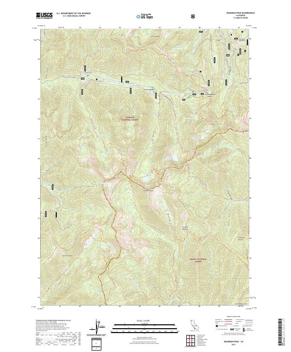
2021 Map of Deadman Peak
USGS Topo · Published 2021About this map
Deadman Peak stands at the heart of this high-elevation landscape, marking the convergence of the Klamath National Forest and Shasta National Forest. The map documents a complex hydrology where the headwaters of the E Fork S Fork Salmon River and S Fork Scott River emerge from high glacial cirques and alpine basins. The topographical detail reveals a network of high-country meadows like Lees Meadow and Steveale Meadow that served as critical landmarks for early surveyors and stockmen.
Find a feature on this map
74 named features on this map. Tap any name to fly to it.
Don’t see what you’re looking for? This feature index may not catch every label — zoom into the map to look around manually.
Map Details
Editions of this 2021 Deadman Peak Map
This is the sole edition of this map. No revisions or reprints were ever made.
Other maps of this area

1886 · Shasta
USGS Topo · 1:250,000

1894 · Shasta
USGS Topo · 1:250,000

1923 · Sawyers Bar
USGS Topo · 1:125,000

1931 · Etna
USGS Topo · 1:96,000

1934 · Etna
USGS Topo · 1:125,000

1948 · Weed
USGS Topo · 1:250,000

1950 · Weed
USGS Topo · 1:250,000

1955 · Cecilville
USGS Topo · 1:62,500

1955 · Sawyers Bar
USGS Topo · 1:62,500

1955 · Etna
USGS Topo · 1:62,500