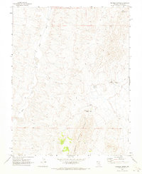
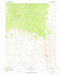
1970 Map of Deadman Spring
USGS Topo · Published 1973About this map
The North Pahroc Range dominates this portion of Lincoln County, defining a landscape where survival depends on the scarce water sources tucked into its high-desert folds. The White River flows through the western valley, while the eastern reaches transition into the wide expanse of Dry Lake Valley. Scattered across the interior, vital points like Deadman Spring and Black Rock Spring are the primary markers for travelers and ranchers, often accompanied by a Water Tank or other infrastructure. A network of Jeep Trails provides the only access through this terrain, connecting remote points such as Coal Spring, Hamilton Spring, and a lonely Cabin/Spring in the northeast. The presence of numerous benchmarks, including BM 4873 and BM 4713, indicates the precision required to survey this basin and range country.
Find a feature on this map
20 named features on this map. Tap any name to fly to it.
Don’t see what you’re looking for? This feature index may not catch every label — zoom into the map to look around manually.
Map Details
Editions of this 1970 Deadman Spring Map
2 editions found
Other maps of this area

1885 · Pioche
USGS Topo · 1:250,000

1886 · Pioche
USGS Topo · 1:250,000

1954 · Caliente
USGS Topo · 1:250,000

1956 · Lund
USGS Topo · 1:250,000

1959 · Caliente
USGS Topo · 1:250,000

1960 · Lund
USGS Topo · 1:250,000
1970 · Deadman Spring SE
USGS Topo · 1:24,000

1970 · Wheatgrass Spring
USGS Topo · 1:24,000
1970 · Deadman Spring NE
USGS Topo · 1:24,000
1970 · Weepah Spring
USGS Topo · 1:24,000