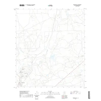
2019 Map of Deadmans Hill
USGS Topo · Published 2019About this map
Elm Creek and the residential streets of Siesta Acres anchor the southwestern portion of this Maverick County landscape, where the suburban edge of Eagle Pass meets the drainage networks of the Rio Grande basin. The topography is defined by significant high points including Deadmans Hill, Consuelo Hill, and Chapotal Hill, which overlook a series of seasonal waterways and ranching infrastructure.
Find a feature on this map
32 named features on this map. Tap any name to fly to it.
Don’t see what you’re looking for? This feature index may not catch every label — zoom into the map to look around manually.
Map Details
Editions of this 2019 Deadmans Hill Map
This is the sole edition of this map. No revisions or reprints were ever made.
Other maps of this area

1940 · Eagle Pass
USGS Topo · 1:62,500

1940 · Paloma
USGS Topo · 1:62,500

1940 · Quemado
USGS Topo · 1:62,500

1958 · Eagle Pass
USGS Topo · 1:250,000

1965 · Eagle Pass
USGS Topo · 1:250,000
1974 · Indian Tank
USGS Topo · 1:24,000
1974 · Deadmans Hill
USGS Topo · 1:24,000
1974 · Trosado Tank
USGS Topo · 1:24,000
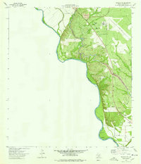
1974 · Quemado SE
USGS Topo · 1:24,000
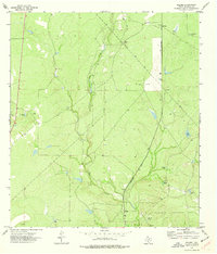
1974 · Paloma
USGS Topo · 1:24,000
Featured Places
- South Elm Creek Number 4 Colonia, TX
- Deer Run Number 1 Colonia, TX
- Deer Run Number 2 Colonia, TX
- Deer Run Number 3 Colonia, TX
- Deer Run Number 4 Colonia, TX