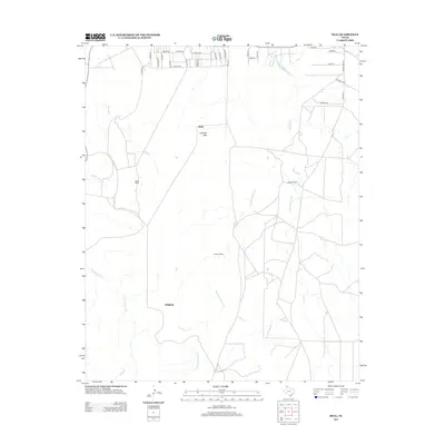
2013 Map of Deal
USGS Topo · Published 2013About this map
Antelope Peak rises above the Panhandle landscape north of Amarillo, serving as a primary landmark in this ranching-dominated territory. The small settlement of Deal and the site of Wilhelm are situated among a network of drainages including Antelope Creek and its various forks. The map reveals a land defined by legacy cattle operations, specifically naming the Poling Ranch, Bennett Ranch, and Sanford Ranch. The road network reflects both modern rural development and historic passage, with local routes like Chisolm Trl, Santa Fe Trl, and Cherokee Trl cutting across the northern reaches. This topographic record documents the subtle relief of the High Plains, where the headwaters of Turkey Creek and Short Creek carve shallow valleys into the open plateau, highlighting the vital relationship between water sources and the established ranching estates of Carson County.
Find a feature on this map
36 named features on this map. Tap any name to fly to it.
Don’t see what you’re looking for? This feature index may not catch every label — zoom into the map to look around manually.
Map Details
Editions of this 2013 Deal Map
This is the sole edition of this map. No revisions or reprints were ever made.
Other maps of this area

1939 · Sanford
USGS Topo · 1:62,500

1953 · Sanford
USGS Topo · 1:24,000

1953 · Alibates Ranch
USGS Topo · 1:24,000

1953 · Evans Canyon
USGS Topo · 1:24,000

1953 · Deal
USGS Topo · 1:24,000

1953 · Pomeroy
USGS Topo · 1:24,000

1953 · McBride
USGS Topo · 1:24,000

1953 · Berry Sand Draw
USGS Topo · 1:24,000

1953 · Borger
USGS Topo · 1:24,000

1954 · Amarillo
USGS Topo · 1:250,000