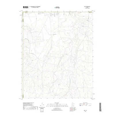
2019 Map of Deal
USGS Topo · Published 2019About this map
Antelope Peak stands as a prominent topographical landmark in this 2019 survey, overlooking a complex drainage system where the Potter, Hutchison, and Carson County lines converge. The landscape is defined by the northward flow of the West Fork and East Fork Antelope Creek, which carve deep, branching coulees into the high plains. While much of the area remains open ranch land, evidenced by Poling Ranch Rd, the northern margins show modern rural residential development along roads like Santa Fe Trl and Chisolm Trl. This map traces the transition from the relatively flat uplands to the eroded breaks of the Canadian River watershed, capturing the hydrology of Turkey Cr and Short Creek before they exit the quadrangle.
Find a feature on this map
33 named features on this map. Tap any name to fly to it.
Don’t see what you’re looking for? This feature index may not catch every label — zoom into the map to look around manually.
Map Details
Editions of this 2019 Deal Map
This is the sole edition of this map. No revisions or reprints were ever made.
Other maps of this area

1939 · Sanford
USGS Topo · 1:62,500

1953 · Sanford
USGS Topo · 1:24,000

1953 · Alibates Ranch
USGS Topo · 1:24,000

1953 · Evans Canyon
USGS Topo · 1:24,000

1953 · Deal
USGS Topo · 1:24,000

1953 · Pomeroy
USGS Topo · 1:24,000

1953 · McBride
USGS Topo · 1:24,000

1953 · Berry Sand Draw
USGS Topo · 1:24,000

1953 · Borger
USGS Topo · 1:24,000

1954 · Amarillo
USGS Topo · 1:250,000