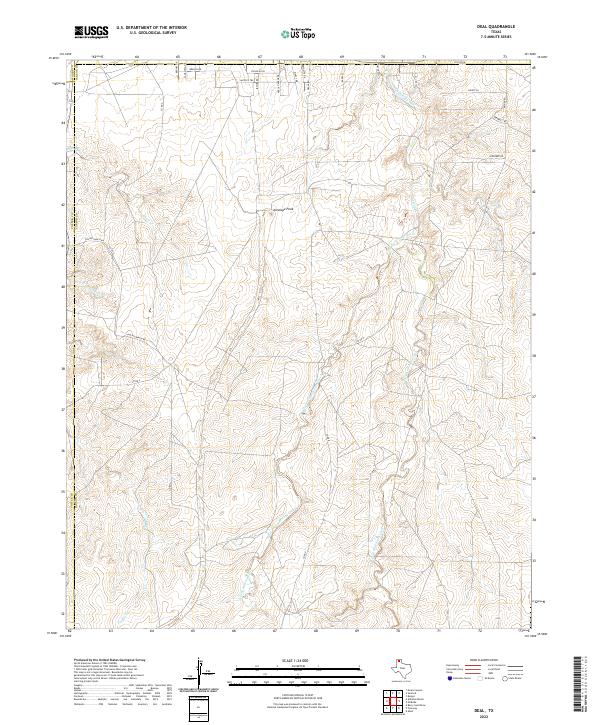
2022 Map of Deal
USGS Topo · Published 2022About this map
Antelope Peak rises above the dissected tablelands of the Texas Panhandle at the intersection of Carson, Potter, and Moore counties. The landscape is defined by the intricate drainage systems of Antelope Creek and its many branches, including the West Fork Antelope Creek and East Fork Antelope Creek. These seasonal watercourses have carved a complex network of canyons and draws through the High Plains, illustrating the classic erosional patterns of the region.
Find a feature on this map
32 named features on this map. Tap any name to fly to it.
Don’t see what you’re looking for? This feature index may not catch every label — zoom into the map to look around manually.
Map Details
Editions of this 2022 Deal Map
This is the sole edition of this map. No revisions or reprints were ever made.
Other maps of this area

1939 · Sanford
USGS Topo · 1:62,500

1953 · Sanford
USGS Topo · 1:24,000

1953 · Alibates Ranch
USGS Topo · 1:24,000

1953 · Evans Canyon
USGS Topo · 1:24,000

1953 · Deal
USGS Topo · 1:24,000

1953 · Pomeroy
USGS Topo · 1:24,000

1953 · McBride
USGS Topo · 1:24,000

1953 · Berry Sand Draw
USGS Topo · 1:24,000

1953 · Borger
USGS Topo · 1:24,000

1954 · Amarillo
USGS Topo · 1:250,000