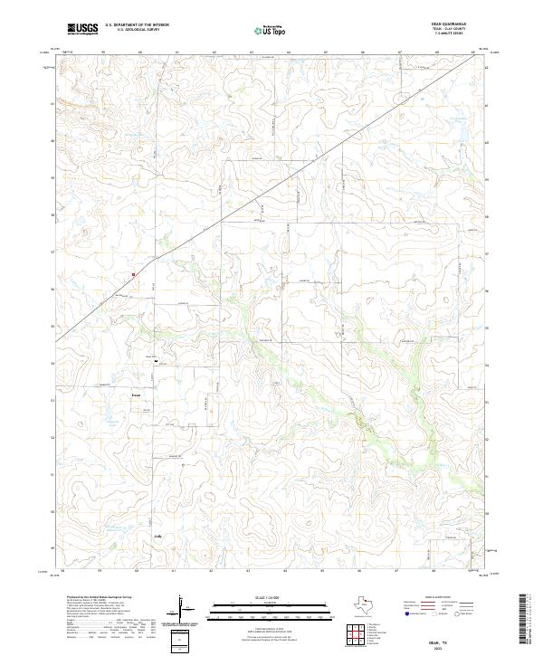
2022 Map of Dean
USGS Topo · Published 2022About this map
The settlement of Dean and its nearby Dean Cem anchor this section of North Texas, where the landscape is characterized by rolling plains and a series of small, named catchments. The terrain is marked by multiple water bodies, including Bridwell Lake, Ferguson Lake, and Dowdy Lake Number 1, reflecting the local reliance on managed water resources in this part of Clay County. The drainage network is defined by the winding course of Turkey Cr and Bennett Cr, which shape the local topography. To the south, the community of Jolly sits along the road network, while the evocative Shawnee Trl suggests the historical depth of movement through this region. The map reveals a highly structured grid of rural roads, such as Mathews Rd and Watkins Rd, connecting family lands and small settlements like Curly across the prairie.
Find a feature on this map
39 named features on this map. Tap any name to fly to it.
Don’t see what you’re looking for? This feature index may not catch every label — zoom into the map to look around manually.
Map Details
Editions of this 2022 Dean Map
This is the sole edition of this map. No revisions or reprints were ever made.
Other maps of this area

1954 · Wichita Falls
USGS Topo · 1:250,000

1955 · Lawton
USGS Topo · 1:250,000

1956 · Sloop Creek
USGS Topo · 1:24,000

1956 · Henrietta
USGS Topo · 1:62,500

1957 · Hastings
USGS Topo · 1:62,500

1957 · Randlett
USGS Topo · 1:62,500

1957 · Wichita Falls East
USGS Topo · 1:62,500

1957 · Wichita Falls East
USGS Topo · 1:24,000

1958 · Wichita Falls
USGS Topo · 1:250,000
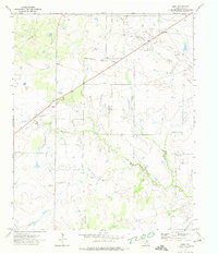
1972 · Dean
USGS Topo · 1:24,000