Loading...
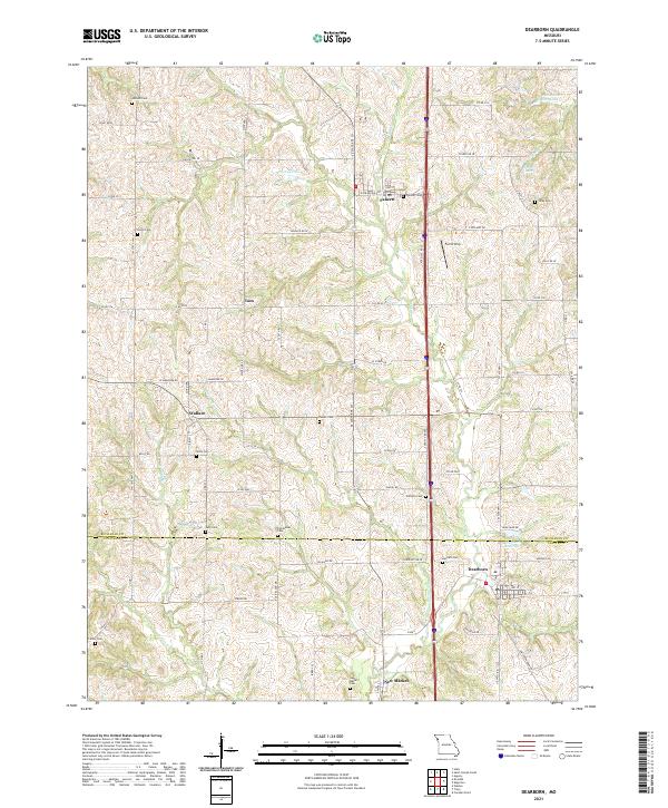
Loading map...1951 Map of Dearborn
USGS Topo · Published 1951About this map
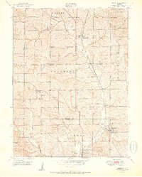
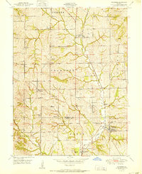
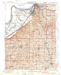
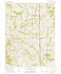
Bee Creek carves a distinctive path through the borderlands of Buchanan and Platte counties, shaping a rural landscape defined by mid-century agriculture and rail transport. The Chicago Great Western railroad serves as the primary industrial artery, connecting small hubs like Faucett and Dearborn. These communities grew around essential local institutions, evidenced by the presence of the Dearborn Masonic Ch and several country schools such as Union Sch and Wallace Sch.
Find a feature on this map
35 named features on this map. Tap any name to fly to it.
Don’t see what you’re looking for? This feature index may not catch every label — zoom into the map to look around manually.
Map Details
Date Portrayed1951
Date Published1951
PublisherU.S. Geological Survey
Map TypeTopographic
Scale1:24,000
Physical Dimensions21.76 x 27.12 inches
Editions of this 1951 Dearborn Map
2 editions found
Historical Maps of Dearborn Through Time
7 maps found
Featured Locations
Source Details
SourceU.S. Geological Survey
CopyrightPublic Domain