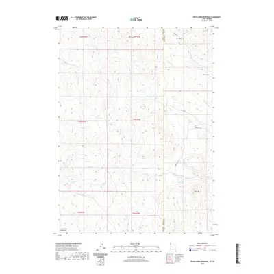
2020 Map of Death Creek Reservoir
USGS Topo · Published 2020About this map
The Nevada-Utah border bisects this high-elevation landscape, where the Goose Creek Mountains meet the drainage basin of the Death Cr Reservoir. Ranching and seasonal access define the human footprint, evidenced by the network of tracks including Tanner Ranch Rd, Dean Pass Rd, and Deer Camp Rd. The topography is dominated by peaks like White Rock Mtn and Burnt Mtn, which overlook a system of drainages such as Mecham Cr and White Rock Cr.
Find a feature on this map
31 named features on this map. Tap any name to fly to it.
Don’t see what you’re looking for? This feature index may not catch every label — zoom into the map to look around manually.
Map Details
Editions of this 2020 Death Creek Reservoir Map
This is the sole edition of this map. No revisions or reprints were ever made.
Other maps of this area

1954 · Brigham City
USGS Topo · 1:250,000

1955 · Wells
USGS Topo · 1:250,000

1958 · Wells
USGS Topo · 1:250,000

1958 · Brigham City
USGS Topo · 1:250,000

1959 · Cotton Thomas Basin
USGS Topo · 1:62,500

1961 · Wells
USGS Topo · 1:250,000

1961 · Goose Creek
USGS Topo · 1:62,500

1961 · Dairy Valley
USGS Topo · 1:62,500

1962 · Brigham City
USGS Topo · 1:250,000
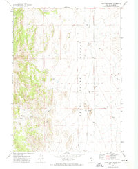
1971 · Toms Cabin Spring
USGS Topo · 1:24,000