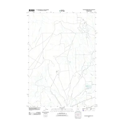
2011 Map of Deaver Reservoir
USGS Topo · Published 2011About this map
Frannie Oil Field and the Polecat Oil Field dominate this Wyoming landscape, illustrating the region's deep ties to energy extraction. The map reveals an intricate network of industrial access roads such as Conoco Rd and 1 X G Rd that crisscross the arid terrain between oil operations. This industrial footprint is balanced by a sophisticated irrigation system essential for life in the Bighorn Basin, featuring the Frannie Canal, Deaver Canal, and the Deaver Reservoir held by Deaver Dam. Natural drainages like Polecat Creek and Cottonwood Creek meander through the quadrangle, while the historic route of the Jim Bridger Trl provides a connection to the era of western exploration and migration. Small water bodies like Blue Lake offer localized relief within this working landscape of petroleum and water management.
Find a feature on this map
26 named features on this map. Tap any name to fly to it.
Don’t see what you’re looking for? This feature index may not catch every label — zoom into the map to look around manually.
Map Details
Editions of this 2011 Deaver Reservoir Map
This is the sole edition of this map. No revisions or reprints were ever made.
Other maps of this area

1954 · Billings
USGS Topo · 1:250,000

1955 · Cody
USGS Topo · 1:250,000

1957 · Billings
USGS Topo · 1:250,000

1958 · Billings
USGS Topo · 1:250,000

1958 · Cody
USGS Topo · 1:250,000

1962 · Cody
USGS Topo · 1:250,000

1966 · Frannie
USGS Topo · 1:24,000

1966 · Garland
USGS Topo · 1:24,000

1966 · Elk Basin
USGS Topo · 1:24,000

1966 · Deaver Reservoir
USGS Topo · 1:24,000