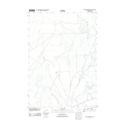
2012 Map of Deaver Reservoir
USGS Topo · Published 2012About this map
Frannie Oil Field and the Polecat Oil Field define the industrial footprint of this Wyoming landscape, where energy extraction meets an extensive network of human-engineered irrigation. The desert terrain is transformed by the Frannie Canal and Deaver Canal, which channel water across the high plains to reach the Deaver Reservoir and smaller features like Blue Lake. This intricate plumbing of the Big Horn Basin is visible alongside historical transit routes like the Jim Bridger Trl. The map documents a complex balance between the natural drainages of Cottonwood Cr and Polecat Cr and the heavy infrastructure required for modern ranching and petroleum production in Park and Big Horn counties.
Find a feature on this map
29 named features on this map. Tap any name to fly to it.
Don’t see what you’re looking for? This feature index may not catch every label — zoom into the map to look around manually.
Map Details
Editions of this 2012 Deaver Reservoir Map
This is the sole edition of this map. No revisions or reprints were ever made.
Other maps of this area

1954 · Billings
USGS Topo · 1:250,000

1955 · Cody
USGS Topo · 1:250,000

1957 · Billings
USGS Topo · 1:250,000

1958 · Billings
USGS Topo · 1:250,000

1958 · Cody
USGS Topo · 1:250,000

1962 · Cody
USGS Topo · 1:250,000

1966 · Frannie
USGS Topo · 1:24,000

1966 · Garland
USGS Topo · 1:24,000

1966 · Elk Basin
USGS Topo · 1:24,000

1966 · Deaver Reservoir
USGS Topo · 1:24,000