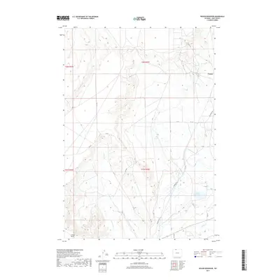
2017 Map of Deaver Reservoir
USGS Topo · Published 2017About this map
Frannie sits at the northern edge of this high plains landscape, where the geography of the Bighorn Basin is defined by extensive irrigation networks and distinct landforms. The Polecat Bench rises in the southwest, overlooking a complex system of water management essential to the region's agriculture. The map detail highlights the paths of the Deaver Canal and Frannie Canal, which feed into the prominent Deaver Reservoir.
Find a feature on this map
31 named features on this map. Tap any name to fly to it.
Don’t see what you’re looking for? This feature index may not catch every label — zoom into the map to look around manually.
Map Details
Editions of this 2017 Deaver Reservoir Map
This is the sole edition of this map. No revisions or reprints were ever made.
Other maps of this area

1954 · Billings
USGS Topo · 1:250,000

1955 · Cody
USGS Topo · 1:250,000

1957 · Billings
USGS Topo · 1:250,000

1958 · Billings
USGS Topo · 1:250,000

1958 · Cody
USGS Topo · 1:250,000

1962 · Cody
USGS Topo · 1:250,000

1966 · Frannie
USGS Topo · 1:24,000

1966 · Garland
USGS Topo · 1:24,000

1966 · Elk Basin
USGS Topo · 1:24,000

1966 · Deaver Reservoir
USGS Topo · 1:24,000