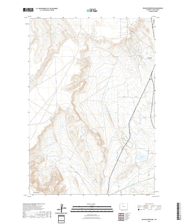
2021 Map of Deaver Reservoir
USGS Topo · Published 2021About this map
The high desert landscape of Wyoming's Park County is defined here by the engineered movement of water. At the heart of this terrain sits the Deaver Reservoir, a critical water source for the region's agricultural efforts. The surrounding area is crisscrossed by an extensive network of irrigation infrastructure, including the Deaver Canal and the Frannie Canal, which transform the arid plains into productive land. The settlement of Frannie sits in the northeast corner of the quadrangle, serving as a hub near the border where industrial and agricultural routes intersect.
Find a feature on this map
27 named features on this map. Tap any name to fly to it.
Don’t see what you’re looking for? This feature index may not catch every label — zoom into the map to look around manually.
Map Details
Editions of this 2021 Deaver Reservoir Map
This is the sole edition of this map. No revisions or reprints were ever made.
Other maps of this area

1954 · Billings
USGS Topo · 1:250,000

1955 · Cody
USGS Topo · 1:250,000

1957 · Billings
USGS Topo · 1:250,000

1958 · Billings
USGS Topo · 1:250,000

1958 · Cody
USGS Topo · 1:250,000

1962 · Cody
USGS Topo · 1:250,000

1966 · Frannie
USGS Topo · 1:24,000

1966 · Garland
USGS Topo · 1:24,000

1966 · Elk Basin
USGS Topo · 1:24,000

1966 · Deaver Reservoir
USGS Topo · 1:24,000