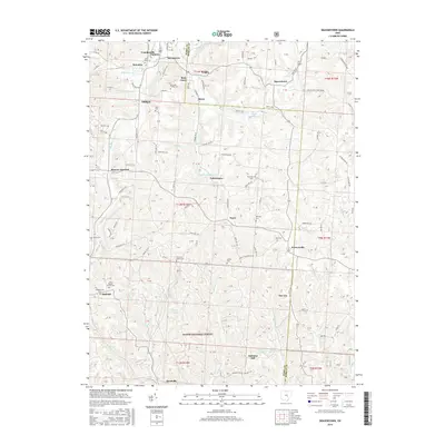
2016 Map of Deavertown
USGS Topo · Published 2016About this map
Crooksville and its northern neighborhoods of Flatiron and Stringtown anchor this detailed study of the Perry and Morgan county line. The landscape is defined by the narrow valleys of Moxahala Creek and Sunday Creek, which carved the routes for historic settlements like McLuney and Misco. Genealogists will find a high density of burial grounds, from family plots like the McCaslin Family Cemetery to established church sites like Zion Cemetery and the Presbyterian Cemetery near Oakfield. The southern portion of the map is dominated by the protected lands of the Wayne National Forest, encompassing the former mining community of San Toy and the high point at Alabama Hill. This geography reflects a transition from the industrial clay and coal legacy of the north to the reforested ridges of the south.
Find a feature on this map
112 named features on this map. Tap any name to fly to it.
Don’t see what you’re looking for? This feature index may not catch every label — zoom into the map to look around manually.
Map Details
Editions of this 2016 Deavertown Map
This is the sole edition of this map. No revisions or reprints were ever made.
Other maps of this area

1910 · Philo
USGS Topo · 1:62,500

1910 · Zanesville
USGS Topo · 1:62,500

1910 · Mc Connelsville
USGS Topo · 1:62,500

1911 · New Lexington
USGS Topo · 1:62,500

1947 · Columbus
USGS Topo · 1:250,000

1949 · Clarksburg
USGS Topo · 1:250,000

1956 · Clarksburg
USGS Topo · 1:250,000

1961 · Columbus
USGS Topo · 1:250,000

1961 · Clarksburg
USGS Topo · 1:250,000

1961 · Corning
USGS Topo · 1:24,000