
1961 Map of Corning
USGS Topo · Published 1962About this map
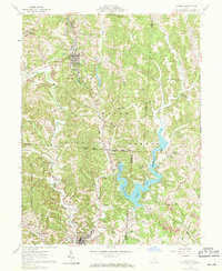
Corning and Glouster anchor this 1961 portrait of the Hocking Valley coal region, where industrial activity and conservation efforts exist side-by-side. The landscape is defined by the winding course of Sunday Creek and its many branches, including the West Branch and East Branch. The influence of the extractive industry is evident in the numerous Strip Mines, Gas Wells, and Oil Wells peppered across the townships of Monroe, Wayne, and Trimble.
Find a feature on this map
69 named features on this map. Tap any name to fly to it.
Don’t see what you’re looking for? This feature index may not catch every label — zoom into the map to look around manually.
Map Details
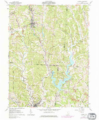
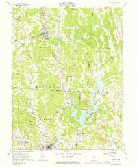
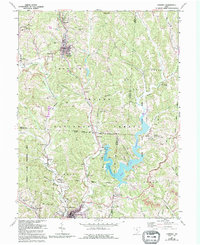
Editions of this 1961 Corning Map
5 editions found
Other maps of this area

1903 · Athens
USGS Topo · 1:62,500

1904 · Chesterhill
USGS Topo · 1:62,500

1905 · Athens
USGS Topo · 1:62,500

1906 · Chesterhill
USGS Topo · 1:62,500

1910 · Mc Connelsville
USGS Topo · 1:62,500

1911 · New Lexington
USGS Topo · 1:62,500

1947 · Columbus
USGS Topo · 1:250,000

1949 · Clarksburg
USGS Topo · 1:250,000

1956 · Clarksburg
USGS Topo · 1:250,000

1960 · Amesville
USGS Topo · 1:24,000