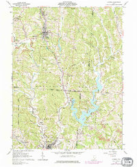
1961 Map of Corning
USGS Topo · Published 1976About this map
The valley of Sunday Creek serves as the primary corridor for settlement and industry in this 1960s landscape, anchored by the towns of Corning and Glouster. The influence of coal extraction is evident through numerous Strip Mine operations and a Tipple near Drakes, while the Penn Central railroad tracks follow the winding creek bed to move resources through the hills. To the east, the Burr Oak State Park Reservoir dominates the terrain, held back by the Tom Jenkins Dam. This impoundment represents a shift toward recreation and conservation within the Wayne National Forest. Local history is preserved in several rural sites, including Mt Carmel Ch and the Fairview Mission Sch, alongside many family-named cemeteries like Asberry Cem and Stuart Cem that mark the legacy of early residents in Monroe and Trimble townships.
Find a feature on this map
68 named features on this map. Tap any name to fly to it.
Don’t see what you’re looking for? This feature index may not catch every label — zoom into the map to look around manually.
Map Details
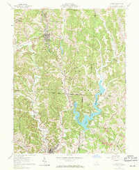
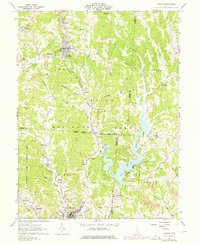
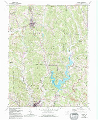
Editions of this 1961 Corning Map
5 editions found

Other maps of this area

1903 · Athens
USGS Topo · 1:62,500

1904 · Chesterhill
USGS Topo · 1:62,500

1905 · Athens
USGS Topo · 1:62,500

1906 · Chesterhill
USGS Topo · 1:62,500

1910 · Mc Connelsville
USGS Topo · 1:62,500

1911 · New Lexington
USGS Topo · 1:62,500

1947 · Columbus
USGS Topo · 1:250,000

1949 · Clarksburg
USGS Topo · 1:250,000

1956 · Clarksburg
USGS Topo · 1:250,000

1960 · Amesville
USGS Topo · 1:24,000