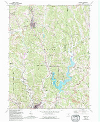
1961 Map of Corning
USGS Topo · Published 1995About this map
Sunday Creek carves a path through this coal-rich corridor of Southeastern Ohio, where the industrial legacy of Monroe and Trimble townships is etched into the hillsides. The landscape is defined by the contrast between early mining operations, marked by numerous Strip Mines and Gas Wells, and the expansive conservation efforts of the Wayne National Forest. The map captures the village of Corning and the neighboring settlement of Rendville, along with the infrastructure of the Conrail line and several sections of old RR grade.
Find a feature on this map
74 named features on this map. Tap any name to fly to it.
Don’t see what you’re looking for? This feature index may not catch every label — zoom into the map to look around manually.
Map Details
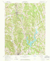
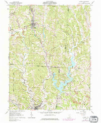
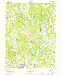
Editions of this 1961 Corning Map
5 editions found

Other maps of this area

1903 · Athens
USGS Topo · 1:62,500

1904 · Chesterhill
USGS Topo · 1:62,500

1905 · Athens
USGS Topo · 1:62,500

1906 · Chesterhill
USGS Topo · 1:62,500

1910 · Mc Connelsville
USGS Topo · 1:62,500

1911 · New Lexington
USGS Topo · 1:62,500

1947 · Columbus
USGS Topo · 1:250,000

1949 · Clarksburg
USGS Topo · 1:250,000

1956 · Clarksburg
USGS Topo · 1:250,000

1960 · Amesville
USGS Topo · 1:24,000