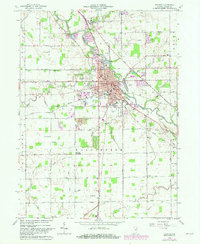
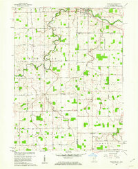
1962 Map of Decatur
USGS Topo · Published 1982About this map
The St Marys River winds through the heart of this landscape, anchoring the city of Decatur as it grew into a regional hub for transportation and industry during the mid-20th century. The settlement pattern reveals a transition from the compact urban core near the Conrail lines to more specialized outlying landmarks, such as the County Home and the Landing Field. Rural life remains clearly defined by a dense network of drainage systems like Weser Ditch and Bluhm Ditch, which supported the surrounding agricultural townships of Washington and Root. Genealogists will find significant detail in the placement of the Reynolds Cem and St Josephs Cemetery, alongside neighborhood anchors like Northwest Sch and the St Josephs Cath Ch. The presence of the Claypits on the southern edge of the city suggests the local industrial reliance on the region's natural resources.
Find a feature on this map
47 named features on this map. Tap any name to fly to it.
Don’t see what you’re looking for? This feature index may not catch every label — zoom into the map to look around manually.
Map Details
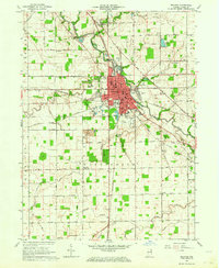
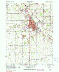
Editions of this 1962 Decatur Map
3 editions found
Other maps of this area

1911 · Berne
USGS Topo · 1:48,000

1953 · Muncie
USGS Topo · 1:250,000

1956 · Muncie
USGS Topo · 1:250,000

1960 · Dixon
USGS Topo · 1:24,000
1960 · Wren
USGS Topo · 1:24,000
1960 · Willshire
USGS Topo · 1:24,000

1961 · Hoagland
USGS Topo · 1:24,000

1962 · Poe
USGS Topo · 1:24,000

1962 · Preble
USGS Topo · 1:24,000

1962 · Berne
USGS Topo · 1:24,000