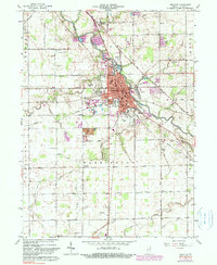
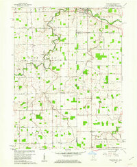
1962 Map of Decatur
USGS Topo · Published 1990About this map
Decatur serves as the industrial and civic heart of Adams County on this topographic record, centered on the winding St Marys River. The town's mid-century layout is defined by the intersection of the Norfolk and Western and Erie Railroad lines, which supported local industries like the brick Kilns shown on the southern edge of town. Beyond the urban core, the map detail extends to peripheral communities such as Monmouth and the Elm Tree Crossroads, revealing a landscape of gridded section lines and agricultural drainage through an extensive system of unnamed ditches.
Find a feature on this map
53 named features on this map. Tap any name to fly to it.
Don’t see what you’re looking for? This feature index may not catch every label — zoom into the map to look around manually.
Map Details
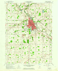
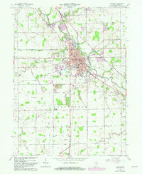
Editions of this 1962 Decatur Map
3 editions found
Other maps of this area

1911 · Berne
USGS Topo · 1:48,000

1953 · Muncie
USGS Topo · 1:250,000

1956 · Muncie
USGS Topo · 1:250,000

1960 · Dixon
USGS Topo · 1:24,000
1960 · Wren
USGS Topo · 1:24,000
1960 · Willshire
USGS Topo · 1:24,000

1961 · Hoagland
USGS Topo · 1:24,000

1962 · Poe
USGS Topo · 1:24,000

1962 · Preble
USGS Topo · 1:24,000

1962 · Berne
USGS Topo · 1:24,000