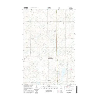
2016 Map of Decker Lake
USGS Topo · Published 2016About this map
Chippewa National Forest dominates this northern landscape, where the waters of Decker Lake and the Third River create a complex hydrological network. The terrain is defined by its glacial heritage, featuring a high density of small lakes and winding waterways such as Skimerhorn Cr and Everton Cr. The township lines of t149n r30w and t148n r29w organize a region largely characterized by wetlands and timber, with a light network of forest roads like Co RD 30 and Brooks Rd NE providing the only terrestrial access. This 2016 survey illustrates the persistent natural character of the Beltrami and Itasca County border, highlighting named water bodies like Chinaman Lake and Christenson Lake that remain central to the area's geography.
Find a feature on this map
34 named features on this map. Tap any name to fly to it.
Don’t see what you’re looking for? This feature index may not catch every label — zoom into the map to look around manually.
Map Details
Editions of this 2016 Decker Lake Map
This is the sole edition of this map. No revisions or reprints were ever made.
Other maps of this area

1919 · Rosy
USGS Topo · 1:62,500

1919 · Quiring
USGS Topo · 1:62,500

1919 · Bridgie
USGS Topo · 1:62,500

1924 · Bridgie
USGS Topo · 1:62,500

1954 · Bemidji
USGS Topo · 1:250,000

1957 · Bemidji
USGS Topo · 1:250,000

1958 · Bemidji
USGS Topo · 1:250,000

1971 · Dixon Lake
USGS Topo · 1:24,000

1971 · Gimmer Lake
USGS Topo · 1:24,000

1971 · Funkley
USGS Topo · 1:24,000